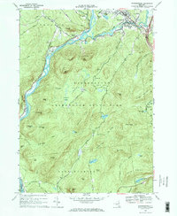
1966 Map of Warrensburg
USGS Topo · Published 1969About this map
The confluence of the Schroon River and the Hudson River anchors this 1960s study of the southern Adirondacks. The village of Warrensburg appears at a transitional moment, showing established civic institutions like the Central High Sch and Fairgrounds alongside the modern development of Interchange 23. Just to the west, the Delaware and Hudson RR follows the riverbank, serving Thurman Station and the rural community of Athol.
Find a feature on this map
69 named features on this map. Tap any name to fly to it.
Don’t see what you’re looking for? This feature index may not catch every label — zoom into the map to look around manually.
Map Details
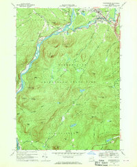
Editions of this 1966 Warrensburg Map
2 editions found
Other maps of this area

1895 · North Creek
USGS Topo · 1:62,500

1895 · Glens Falls
USGS Topo · 1:62,500

1897 · Bolton
USGS Topo · 1:62,500

1897 · Glens Falls
USGS Topo · 1:62,500

1897 · North Creek
USGS Topo · 1:62,500

1900 · Bolton
USGS Topo · 1:62,500

1903 · Luzerne
USGS Topo · 1:62,500

1938 · Glens Falls
USGS Topo · 1:62,500

1947 · Glens Falls
USGS Topo · 1:62,500

1950 · Glens Falls
USGS Topo · 1:250,000