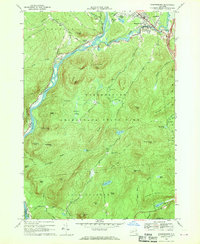
1966 Map of Warrensburg
USGS Topo · Published 1969About this map
The confluence of the Hudson River and Schroon River anchors this 1960s study of the southeastern Adirondacks. The village of Warrensburg appears as a developed hub during this era, featuring the Fairgrounds, a Fish Hatchery, and educational landmarks like the Central High Sch. Across the water, the Delaware and Hudson railroad tracks trace the riverbank past Thurman Station, providing a glimpse into the transport network serving the mountain settlements.
Find a feature on this map
71 named features on this map. Tap any name to fly to it.
Don’t see what you’re looking for? This feature index may not catch every label — zoom into the map to look around manually.
Map Details
Editions of this 1966 Warrensburg Map
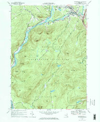
2 editions found
Other maps of this area

1895 · North Creek
USGS Topo · 1:62,500

1895 · Glens Falls
USGS Topo · 1:62,500

1897 · Bolton
USGS Topo · 1:62,500

1897 · Glens Falls
USGS Topo · 1:62,500

1897 · North Creek
USGS Topo · 1:62,500

1900 · Bolton
USGS Topo · 1:62,500

1903 · Luzerne
USGS Topo · 1:62,500

1938 · Glens Falls
USGS Topo · 1:62,500

1947 · Glens Falls
USGS Topo · 1:62,500

1950 · Glens Falls
USGS Topo · 1:250,000