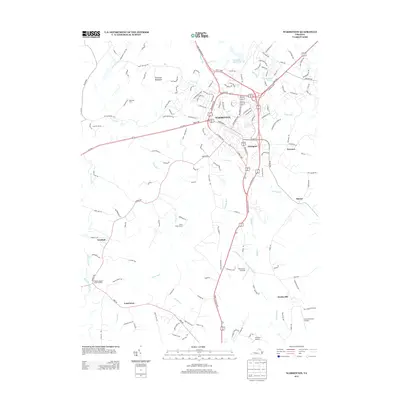
2013 Map of Warrenton
USGS Topo · Published 2013About this map
Warrenton sits at the heart of this landscape, serving as a hub for major transit corridors like the Lee Hwy and James Madison Hwy. The town's layout is defined by historic corridors such as Waterloo St and Falmouth St, while the surrounding Piedmont countryside is dotted with established estates and smaller settlements. Neighborhoods and estates like Alwington, North Wales Estate, and Oakwood Farm provide a view of the local residential and agricultural character that has long defined Fauquier County.
Find a feature on this map
51 named features on this map. Tap any name to fly to it.
Don’t see what you’re looking for? This feature index may not catch every label — zoom into the map to look around manually.
Map Details
Editions of this 2013 Warrenton Map
This is the sole edition of this map. No revisions or reprints were ever made.
Other maps of this area

1894 · Warrenton
USGS Topo · 1:125,000

1894 · Warrenton
USGS Topo · 1:62,500

1927 · Remington
USGS Topo · 1:48,000

1930 · Warrenton
USGS Topo · 1:62,500

1933 · Middleburg
USGS Topo · 1:62,500

1943 · Catlett
USGS Topo · 1:62,500

1943 · Thorofare Gap
USGS Topo · 1:24,000

1943 · Orlean
USGS Topo · 1:24,000

1943 · Midland
USGS Topo · 1:24,000

1943 · Marshall
USGS Topo · 1:24,000