Loading...
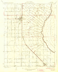
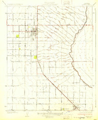
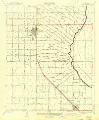
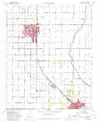
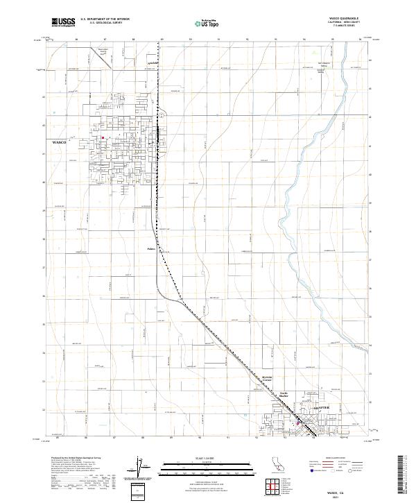
Loading map...1930 Map of Wasco
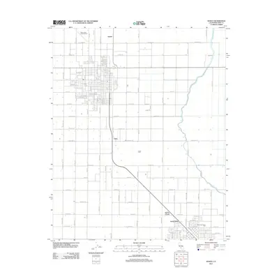
USGS Topo · Published 1930About this map
The Atchison Topeka and Santa Fe railroad corridor serves as the central artery for this portion of the San Joaquin Valley, dictating the development of agriculture and settlement at the end of the 1920s. The town of Wasco stands as the primary hub, surrounded by a grid of orchards and vineyards that depend on the winding Calloway Canal to the east. The landscape transitions from the concentrated residential blocks of Wasco and Shafter to the broader agricultural holdings like the Hoover Ranch.
Find a feature on this map
13 named features on this map. Tap any name to fly to it.
Don’t see what you’re looking for? This feature index may not catch every label — zoom into the map to look around manually.
Map Details
Date Portrayed1930
Date Published1930
PublisherU.S. Geological Survey
Map TypeTopographic
Scale1:31,680
Physical Dimensions16.2 x 19.9 inches
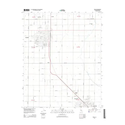
Editions of this 1930 Wasco Map
3 editions found
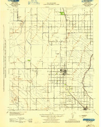
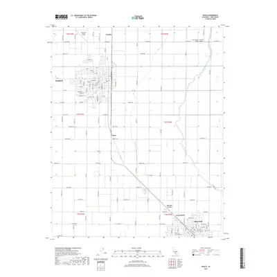
Historical Maps of Wasco Through Time
7 maps found
Featured Locations
Source Details
SourceU.S. Geological Survey
CopyrightPublic Domain