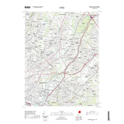
2019 Map of Washington East
USGS Topo · Published 2019About this map
The Anacostia River and its numerous tributaries, including Paint Branch and Northwest Branch Anacostia River, define the eastern suburbs of the nation's capital. This landscape is a densely integrated corridor of residential neighborhoods and extensive parklands, such as Greenbelt Park and the widespread National Capital Parks. Significant history is anchored in several memorial sites, including the Fort Lincoln Cemetery and the Congressional Cemetery near the river's bend.
Find a feature on this map
148 named features on this map. Tap any name to fly to it.
Don’t see what you’re looking for? This feature index may not catch every label — zoom into the map to look around manually.
Map Details
Editions of this 2019 Washington East Map
This is the sole edition of this map. No revisions or reprints were ever made.
Other maps of this area

1890 · Mt. Vernon
USGS Topo · 1:125,000

1891 · Mt. Vernon
USGS Topo · 1:125,000

1892 · Laurel
USGS Topo · 1:62,500

1893 · Frederick
USGS Topo · 1:125,000

1894 · Laurel
USGS Topo · 1:62,500

1894 · Frederick
USGS Topo · 1:125,000

1894 · Mt. Vernon
USGS Topo · 1:125,000

1897 · Laurel
USGS Topo · 1:62,500

1897 · Mt. Vernon
USGS Topo · 1:125,000

1899 · Patuxent
USGS Topo · 1:125,000