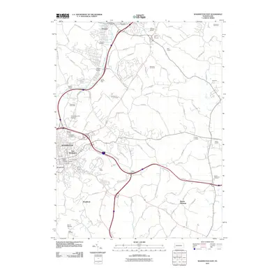
2010 Map of Washington East
USGS Topo · Published 2010About this map
Washington and East Washington anchor the western edge of this landscape, showing a dense network of residential streets and administrative centers like the Central Station Washington Post Office. The topography is defined by the winding course of Chartiers Creek and its various tributaries, which carve through the terrain to create named valleys like Arnold Hollow and Allison Hollow. Evidence of the region’s industrial history remains visible through features such as the Lindley Mine Air Shaft and the Brady Tunnel.
Find a feature on this map
96 named features on this map. Tap any name to fly to it.
Don’t see what you’re looking for? This feature index may not catch every label — zoom into the map to look around manually.
Map Details
Editions of this 2010 Washington East Map
This is the sole edition of this map. No revisions or reprints were ever made.
Other maps of this area

1901 · Amity
USGS Topo · 1:62,500

1904 · Amity
USGS Topo · 1:62,500

1904 · Carnegie
USGS Topo · 1:62,500

1904 · Burgettstown
USGS Topo · 1:62,500

1906 · Burgettstown
USGS Topo · 1:62,500

1906 · Carnegie
USGS Topo · 1:62,500

1907 · Claysville
USGS Topo · 1:62,500

1908 · Carnegie
USGS Topo · 1:62,500

1951 · Canton
USGS Topo · 1:250,000

1953 · Canton
USGS Topo · 1:250,000
Featured Places
- Washington, PA
- South Strabane Township, PA
- Mount Pleasant, South Strabane Township
- McGovern, Chartiers Township
- East Washington, PA