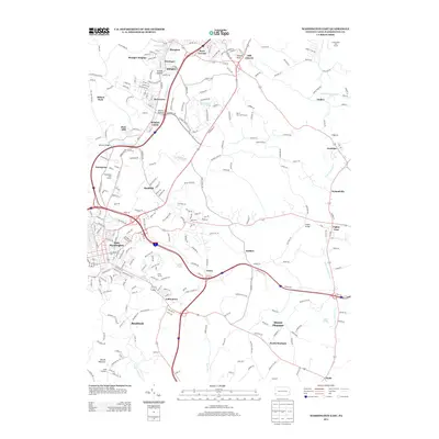
2013 Map of Washington East
USGS Topo · Published 2013About this map
East Washington serves as the urban anchor for this portion of Washington County, where the landscape transitions from established street grids into the suburban and rural valleys of southwestern Pennsylvania. The path of Chartiers Cr and its tributaries, including Chartiers Run, has long influenced the placement of settlements like Meadow Lands and McGovern. The northern part of the map is punctuated by the historic Hill Church and rising elevations like Hannas Knob, while the southern reaches move into the drainage of Little Tenmile Cr.
Find a feature on this map
251 named features on this map. Tap any name to fly to it.
Don’t see what you’re looking for? This feature index may not catch every label — zoom into the map to look around manually.
Map Details
Editions of this 2013 Washington East Map
This is the sole edition of this map. No revisions or reprints were ever made.
Other maps of this area

1901 · Amity
USGS Topo · 1:62,500

1904 · Amity
USGS Topo · 1:62,500

1904 · Carnegie
USGS Topo · 1:62,500

1904 · Burgettstown
USGS Topo · 1:62,500

1906 · Burgettstown
USGS Topo · 1:62,500

1906 · Carnegie
USGS Topo · 1:62,500

1907 · Claysville
USGS Topo · 1:62,500

1908 · Carnegie
USGS Topo · 1:62,500

1951 · Canton
USGS Topo · 1:250,000

1953 · Canton
USGS Topo · 1:250,000
Featured Places
- Washington, PA
- South Strabane Township, PA
- Mount Pleasant, South Strabane Township
- McGovern, Chartiers Township
- East Washington, PA