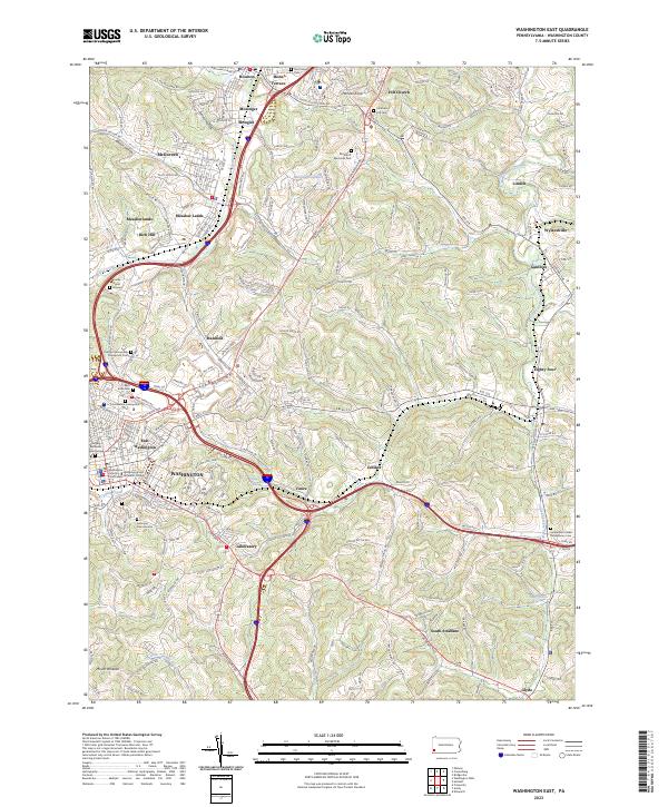
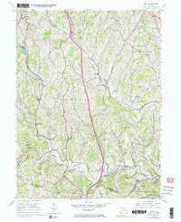
2023 Map of Washington East
USGS Topo · Published 2023About this map
Washington and East Washington anchor this Pennsylvania landscape, where the historic Washington County Courthouse stands near the campus of Washington and Jefferson College. The terrain is characterized by a series of high ridges including Hannas Knob and Mount Wheeler, with the winding path of Chartiers Creek and its many tributaries, such as Little Chartiers Creek and Catfish Creek, carving the valleys between them.
Find a feature on this map
170 named features on this map. Tap any name to fly to it.
Don’t see what you’re looking for? This feature index may not catch every label — zoom into the map to look around manually.
Map Details
Editions of this 2023 Washington East Map
This is the sole edition of this map. No revisions or reprints were ever made.
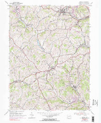
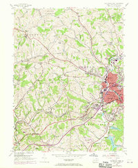
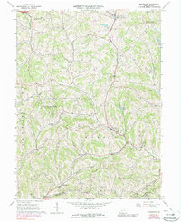
Historical Maps of Boon Terrace Through Time
17 maps found

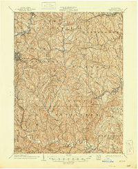
1901 Amity
Washington County, PA
1904 Amity
Washington County, PA
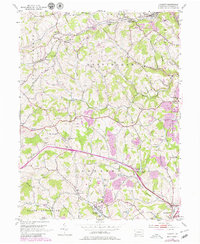
1953 Hackett
Washington County, PA
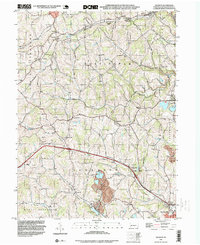
1953 Washington East
Washington County, PA
1954 Amity
Washington County, PA
1954 Midway
Washington County, PA
1954 Washington West
Washington County, PA
1964 Prosperity
Washington County, PA
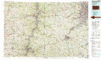
1986 Pittsburgh West
Washington County, PA
1993 Hackett
Washington County, PA
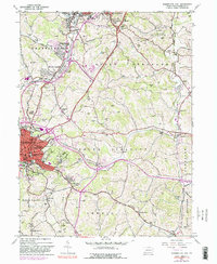
1993 Washington West
Washington County, PA
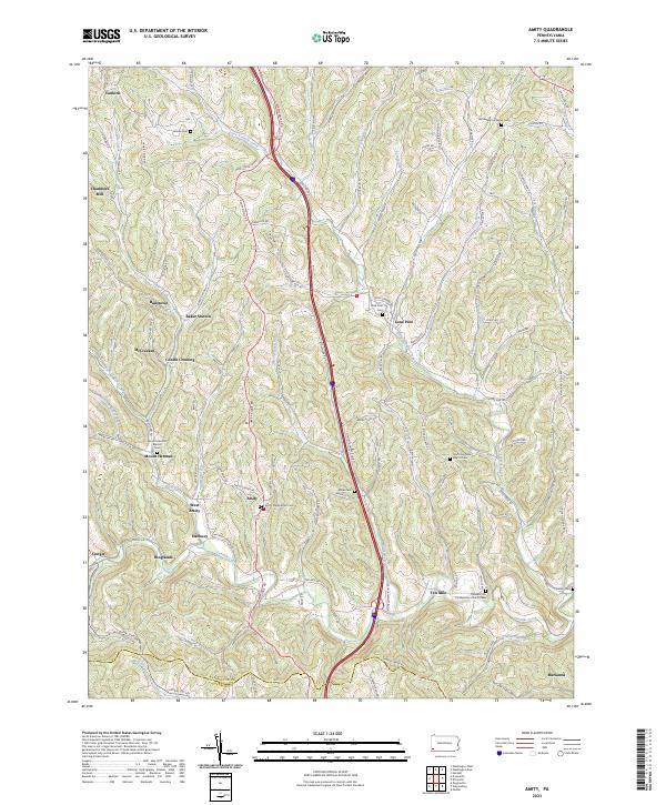
2023 Amity
Washington County, PA
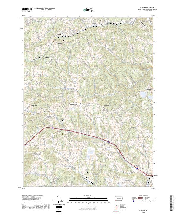
2023 Hackett
Washington County, PA
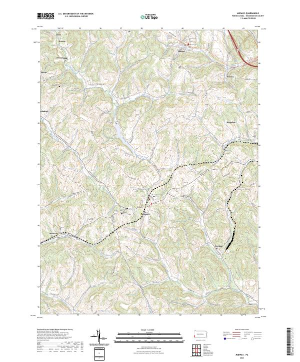
2023 Midway
Washington County, PA
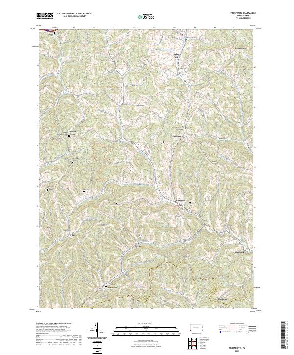
2023 Prosperity
Washington County, PA
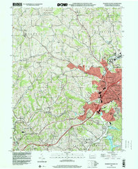
2023 Washington East
Washington County, PA
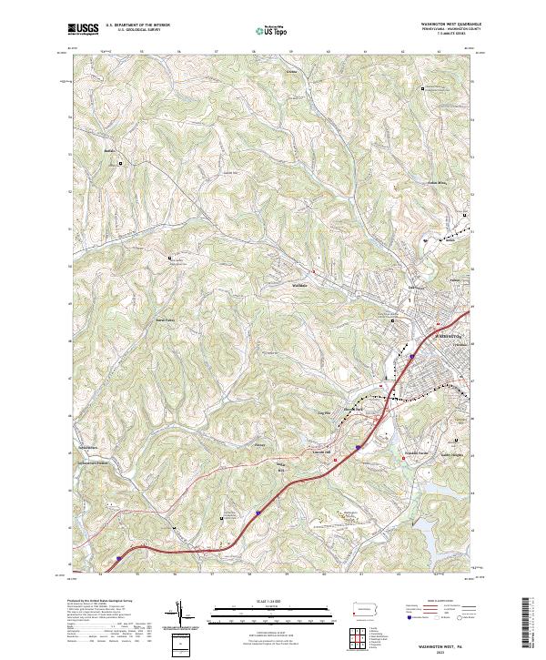
2023 Washington West
Washington County, PA
Featured Locations
- East Washington, PA
- Washington, PA
- South Strabane Township, PA
- Mount Pleasant, South Strabane Township
- McGovern, Chartiers Township