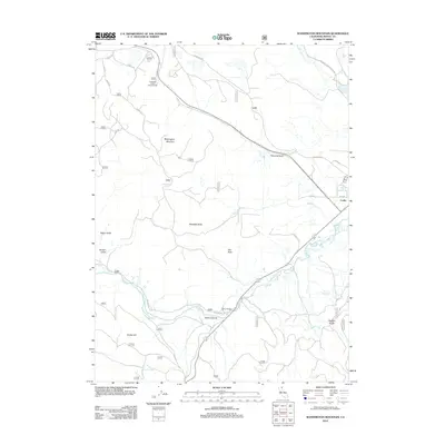
2012 Map of Washington Mountain
USGS Topo · Published 2012About this map
The Pit River snakes through the high-desert landscape of Modoc County in this 2012 survey, defining the southern portion of the quadrangle. The settlement of Canby sits at the eastern edge, where the highway system meets the river’s path near Canby Bridge. The terrain is characterized by volcanic prominences and drainages, most notably Washington Mountain and Westlake Butte, which rise above the surrounding gulches and canyons. Water resources appear as a mix of natural and managed features, from the high Blacks Canyon Reservoir to Gosch Spring and Rucker Hill Tank. This map documents a region where forest service roads, such as Loveness Rd and Cinder Pit Rd, provide the primary access to the backcountry. Researchers can observe the intersection of recreation and utility at the Howards Gulch Campground and various gulches like Garden Gulch and Negro Gulch.
Find a feature on this map
45 named features on this map. Tap any name to fly to it.
Don’t see what you’re looking for? This feature index may not catch every label — zoom into the map to look around manually.
Map Details
Editions of this 2012 Washington Mountain Map
This is the sole edition of this map. No revisions or reprints were ever made.
Other maps of this area

1886 · Alturas
USGS Topo · 1:250,000

1886 · Modoc Lava Bed
USGS Topo · 1:250,000

1892 · Modoc Lava-Bed
USGS Topo · 1:250,000

1892 · Alturas
USGS Topo · 1:250,000

1952 · Hackamore
USGS Topo · 1:62,500

1954 · Alturas
USGS Topo · 1:250,000

1958 · Alturas
USGS Topo · 1:250,000

1961 · Canby
USGS Topo · 1:62,500

1962 · Alturas
USGS Topo · 1:250,000

1962 · Crank Mountain
USGS Topo · 1:62,500