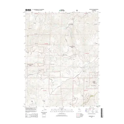
2015 Map of Washington
USGS Topo · Published 2015About this map
The South Yuba River carves through the high country of the Tahoe National Forest, centering on the old mining settlement of Washington. This 2015 survey illustrates the complex geography of Northern California's gold country, where historical water management systems like the S Yuba Canal and infrastructure such as the Dutch Flat Tunnel persist alongside modern resource management. The landscape is defined by steep ridges including Burlington Ridge, Lowell Hill Ridge, and Chalk Bluff Ridge, which separate the various forks of Deer Cr and Steephollow Cr. Higher elevations near Omega and Washington Ridge overlook the deep canyons of Devils Canyon and Union Canyon. Evidence of the region’s hydraulic mining legacy and power generation is visible in the presence of the Drum Forebay near the Bear River at the southern edge of the quadrangle, while family-named landmarks like Negro Jack Hill and McGuire Mtn provide essential context for local genealogists.
Find a feature on this map
75 named features on this map. Tap any name to fly to it.
Don’t see what you’re looking for? This feature index may not catch every label — zoom into the map to look around manually.
Map Details
Editions of this 2015 Washington Map
This is the sole edition of this map. No revisions or reprints were ever made.
Other maps of this area

1891 · Colfax
USGS Topo · 1:125,000

1892 · Colfax
USGS Topo · 1:125,000

1894 · Colfax
USGS Topo · 1:125,000

1898 · Colfax
USGS Topo · 1:125,000

1900 · Colfax
USGS Topo · 1:125,000

1902 · Colfax
USGS Topo · 1:125,000

1938 · Colfax
USGS Topo · 1:125,000

1949 · Chicago Park
USGS Topo · 1:24,000
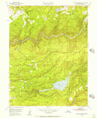
1949 · North Bloomfield
USGS Topo · 1:24,000
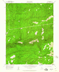
1949 · Pike
USGS Topo · 1:24,000