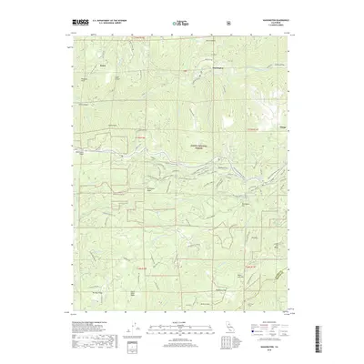
2018 Map of Washington
USGS Topo · Published 2018About this map
Washington sits at the heart of this survey along the South Yuba River, serving as a focal point for a landscape defined by historic water management and mining infrastructure. The map details the complex hydraulic history of the region, showing the routes of the S Yuba Canal and the Cascade Canal, alongside landmarks like the Dutch Flat Tunnel near the southern border. High-altitude settlements and camps such as Relief, Omega, and Excelsior are connected by a network of specialized routes, including Rose Mountain Mine Rd and the Omega MC Trail.
Find a feature on this map
91 named features on this map. Tap any name to fly to it.
Don’t see what you’re looking for? This feature index may not catch every label — zoom into the map to look around manually.
Map Details
Editions of this 2018 Washington Map
This is the sole edition of this map. No revisions or reprints were ever made.
Other maps of this area

1891 · Colfax
USGS Topo · 1:125,000

1892 · Colfax
USGS Topo · 1:125,000

1894 · Colfax
USGS Topo · 1:125,000

1898 · Colfax
USGS Topo · 1:125,000

1900 · Colfax
USGS Topo · 1:125,000

1902 · Colfax
USGS Topo · 1:125,000

1938 · Colfax
USGS Topo · 1:125,000

1949 · Chicago Park
USGS Topo · 1:24,000
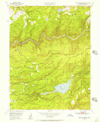
1949 · North Bloomfield
USGS Topo · 1:24,000
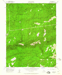
1949 · Pike
USGS Topo · 1:24,000