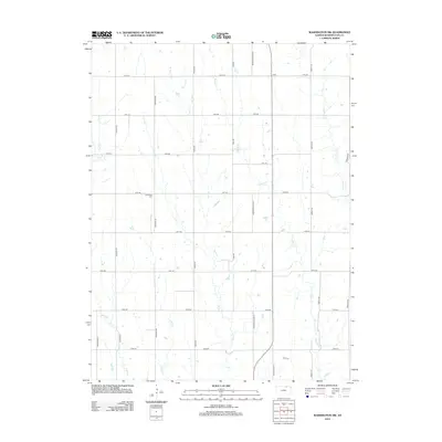
2012 Map of Washington NW
USGS Topo · Published 2012About this map
Greenfield Cem sits along the section lines of this agricultural landscape in Washington County, north of the Little Blue River basin. The area is defined by a rigorous grid of section roads including Heritage Rd, Indian Rd, and Liberty Rd, reflecting the long-term impact of the Public Land Survey System on Kansas settlement. This rural expanse is drained by a network of north-flowing tributaries such as Riddle Cr, Salt Cr, and Jones Cr. While primarily an open landscape of farms and fields, the map documents the modern transit corridor of State Hwy 15 W and the local importance of Morrowville Blvd in connecting these remote homesteads. Genealogists and local historians can trace the intersection of early 20th-century road names with the natural topography of Gray Br and Devils Cr.
Find a feature on this map
23 named features on this map. Tap any name to fly to it.
Don’t see what you’re looking for? This feature index may not catch every label — zoom into the map to look around manually.
Map Details
Editions of this 2012 Washington NW Map
This is the sole edition of this map. No revisions or reprints were ever made.
Other maps of this area

1893 · Washington
USGS Topo · 1:125,000

1955 · Manhattan
USGS Topo · 1:250,000

1955 · Lincoln
USGS Topo · 1:250,000

1956 · Manhattan
USGS Topo · 1:250,000

1957 · Manhattan
USGS Topo · 1:250,000

1957 · Lincoln
USGS Topo · 1:250,000

1958 · Lincoln
USGS Topo · 1:250,000

1960 · Fairbury SW
USGS Topo · 1:24,000

1960 · Reynolds
USGS Topo · 1:24,000
1966 · Washington NW
USGS Topo · 1:24,000