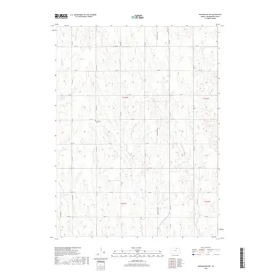
2018 Map of Washington NW
USGS Topo · Published 2018About this map
Greenfield Cem stands as a quiet landmark within the rural landscape of Washington County, marking a site of local genealogy and historical significance. The terrain is defined by a dense network of watercourses, including the central Salt Cr and the winding Riddle Cr, which carve through the plains of northern Kansas. This 2018 survey reveals a systematic grid of section lines and gravel roads, such as Morrowville Blvd and Freedom Blvd, that delineate the agricultural character of the region. The map preserves the specific locations of small tributaries like Devils Cr and Silver Cr, offering a detailed view of the drainage patterns and land divisions that have shaped local farming and settlement for generations. This data provides a precise modern baseline for researchers tracking changes in land use and family holdings across the T1S and T2S townships.
Find a feature on this map
27 named features on this map. Tap any name to fly to it.
Don’t see what you’re looking for? This feature index may not catch every label — zoom into the map to look around manually.
Map Details
Editions of this 2018 Washington NW Map
This is the sole edition of this map. No revisions or reprints were ever made.
Other maps of this area

1893 · Washington
USGS Topo · 1:125,000

1955 · Manhattan
USGS Topo · 1:250,000

1955 · Lincoln
USGS Topo · 1:250,000

1956 · Manhattan
USGS Topo · 1:250,000

1957 · Manhattan
USGS Topo · 1:250,000

1957 · Lincoln
USGS Topo · 1:250,000

1958 · Lincoln
USGS Topo · 1:250,000

1960 · Fairbury SW
USGS Topo · 1:24,000

1960 · Reynolds
USGS Topo · 1:24,000
1966 · Washington NW
USGS Topo · 1:24,000