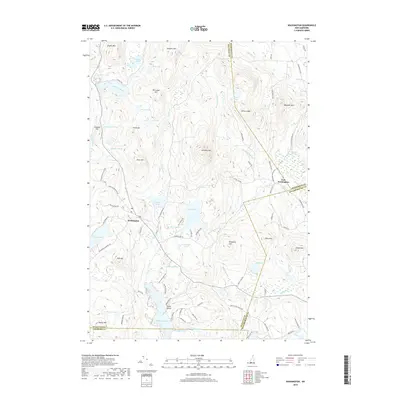
2018 Map of Washington
USGS Topo · Published 2018About this map
Washington serves as the central hub of this New Hampshire landscape, where the town's historical layout is defined by its proximity to Millen Lake and a complex network of glacial ponds. The terrain is characterized by significant elevations such as Lovewell Mtn and Sunapee Mtn, which frame a region rich in water resources. Drainage patterns are well-defined by the Ashuelot River and numerous streams like Beard Brook and Shedd Brook.
Find a feature on this map
87 named features on this map. Tap any name to fly to it.
Don’t see what you’re looking for? This feature index may not catch every label — zoom into the map to look around manually.
Map Details
Editions of this 2018 Washington Map
This is the sole edition of this map. No revisions or reprints were ever made.
Other maps of this area
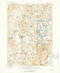
1902 · Sunapee
USGS Topo · 1:62,500
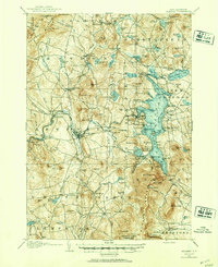
1905 · Sunapee
USGS Topo · 1:62,500
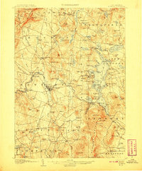
1907 · Sunapee
USGS Topo · 1:62,500
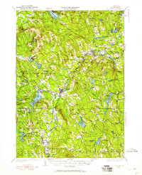
1926 · Hillsboro
USGS Topo · 1:62,500
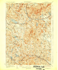
1928 · Mount Kearsarge
USGS Topo · 1:62,500
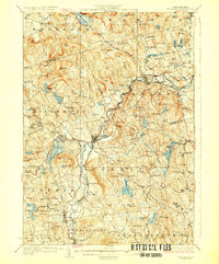
1929 · Hillsboro
USGS Topo · 1:62,500
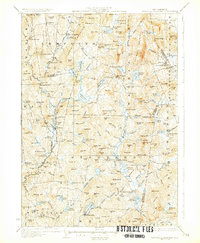
1930 · Lovewell Mountain
USGS Topo · 1:62,500
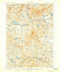
1931 · Mount Kearsarge
USGS Topo · 1:62,500
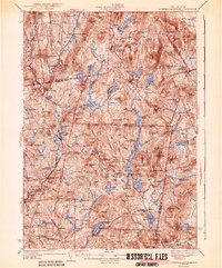
1942 · Lovewell Mountain
USGS Topo · 1:62,500
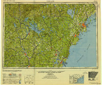
1949 · Portland
USGS Topo · 1:250,000