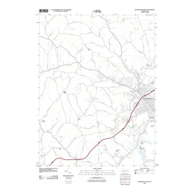
2010 Map of Washington West
USGS Topo · Published 2010About this map
Washington and its western outskirts appear in this 2010 topographic record, showing the urban expansion toward Bellevue and Patton. The landscape is defined by the winding course of Chartiers Creek and its many tributaries, including Catfish Creek and Georges Run. Institutional and historic sites are clearly marked, such as the Brownson House and the sprawling Washington Cemetery at Cemetery Hill.
Find a feature on this map
82 named features on this map. Tap any name to fly to it.
Don’t see what you’re looking for? This feature index may not catch every label — zoom into the map to look around manually.
Map Details
Editions of this 2010 Washington West Map
This is the sole edition of this map. No revisions or reprints were ever made.
Other maps of this area

1901 · Amity
USGS Topo · 1:62,500

1904 · Amity
USGS Topo · 1:62,500

1904 · Carnegie
USGS Topo · 1:62,500

1904 · Burgettstown
USGS Topo · 1:62,500

1906 · Burgettstown
USGS Topo · 1:62,500

1906 · Carnegie
USGS Topo · 1:62,500

1907 · Claysville
USGS Topo · 1:62,500

1908 · Carnegie
USGS Topo · 1:62,500

1951 · Canton
USGS Topo · 1:250,000

1953 · Canton
USGS Topo · 1:250,000
Featured Places
- Washington, PA
- South Strabane Township, PA
- Buffalo, Hopewell Township
- Canton Township, PA
- Blaine Township, PA