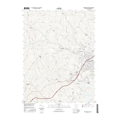
2016 Map of Washington West
USGS Topo · Published 2016About this map
The western edge of Washington and its surrounding hill country define this survey, capturing a landscape where suburban growth meets deep-rooted industrial and agricultural history. The city's residential extensions like Elwood Park and Tylerdale transition into rugged topography marked by Garrett Hill and Pleasant Valley. Evidence of the region's coal-mining past is preserved in place names like Arden Mines, while modern transportation infrastructure is anchored by the Washington County Airport and the rail-oriented legacy of Taylorstown Station.
Find a feature on this map
176 named features on this map. Tap any name to fly to it.
Don’t see what you’re looking for? This feature index may not catch every label — zoom into the map to look around manually.
Map Details
Editions of this 2016 Washington West Map
This is the sole edition of this map. No revisions or reprints were ever made.
Other maps of this area

1901 · Amity
USGS Topo · 1:62,500

1904 · Amity
USGS Topo · 1:62,500

1904 · Carnegie
USGS Topo · 1:62,500

1904 · Burgettstown
USGS Topo · 1:62,500

1906 · Burgettstown
USGS Topo · 1:62,500

1906 · Carnegie
USGS Topo · 1:62,500

1907 · Claysville
USGS Topo · 1:62,500

1908 · Carnegie
USGS Topo · 1:62,500

1951 · Canton
USGS Topo · 1:250,000

1953 · Canton
USGS Topo · 1:250,000
Featured Places
- Washington, PA
- South Strabane Township, PA
- Buffalo, Hopewell Township
- Canton Township, PA
- Blaine Township, PA