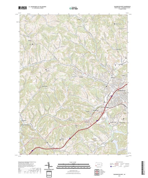
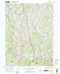
2023 Map of Washington West
USGS Topo · Published 2023About this map
Arden Mines and the surrounding hills of Washington County reveal a landscape shaped by coal extraction and Presbyterian settlement. The terrain is marked by deep valleys like Pleasant Valley and Red Tail Hollow, with watercourses such as Chartiers Creek and Buffalo Creek carving through the plateau. Numerous historic burial grounds and congregations dot the countryside, including the North Buffalo Presbyterian Cem and East Buffalo Presbyterian Church Cem, which serve as vital touchstones for family history in this corner of Pennsylvania.
Find a feature on this map
196 named features on this map. Tap any name to fly to it.
Don’t see what you’re looking for? This feature index may not catch every label — zoom into the map to look around manually.
Map Details
Editions of this 2023 Washington West Map
This is the sole edition of this map. No revisions or reprints were ever made.
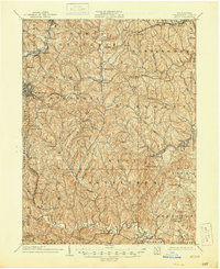
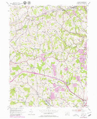
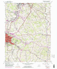
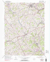
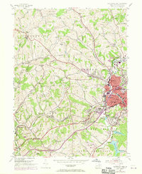
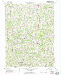
Historical Maps of Arden Mines Through Time
17 maps found

1901 Amity
Washington County, PA
1904 Amity
Washington County, PA
1953 Hackett
Washington County, PA
1953 Washington East
Washington County, PA
1954 Amity
Washington County, PA
1954 Midway
Washington County, PA
1954 Washington West
Washington County, PA
1964 Prosperity
Washington County, PA
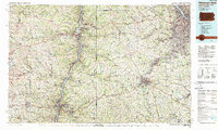
1986 Pittsburgh West
Washington County, PA
1993 Hackett
Washington County, PA
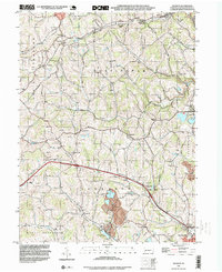
1993 Washington West
Washington County, PA
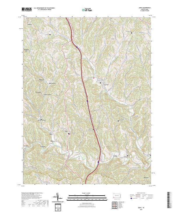
2023 Amity
Washington County, PA
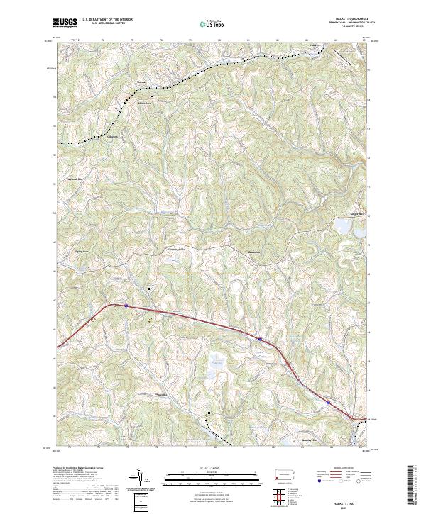
2023 Hackett
Washington County, PA
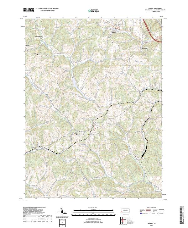
2023 Midway
Washington County, PA
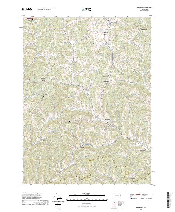
2023 Prosperity
Washington County, PA
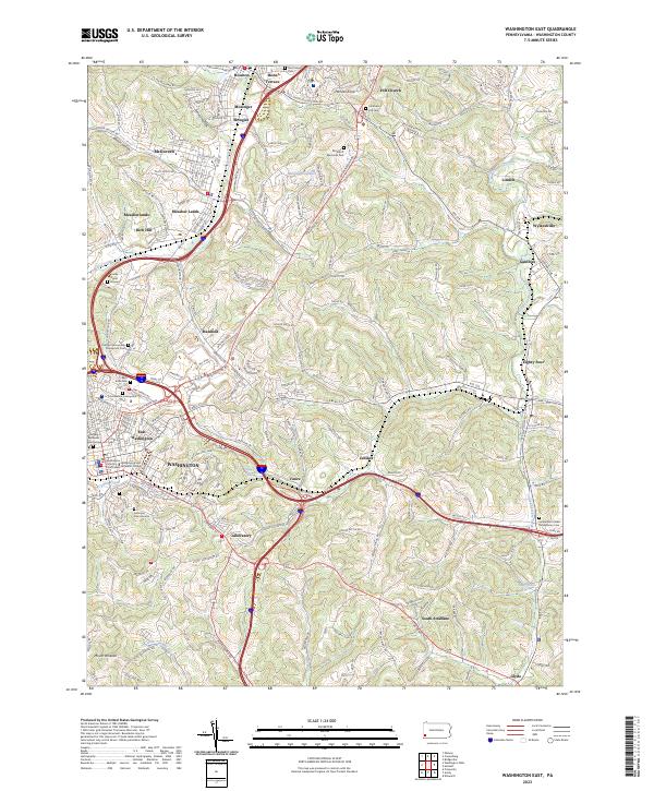
2023 Washington East
Washington County, PA
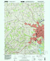
2023 Washington West
Washington County, PA
Featured Locations
- Canton Township, PA
- Blaine Township, PA
- Washington, PA
- South Strabane Township, PA
- Buffalo, Hopewell Township