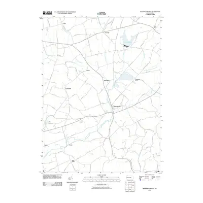
2010 Map of Washingtonville
USGS Topo · Published 2010About this map
Washingtonville sits at the convergence of several rural thoroughfares, serving as a central hub for the small agricultural hamlets that dot this central Pennsylvania landscape. The northern reaches are defined by the varied courses of West Branch Chillisquaque Creek and McKee Run, while the prominent Lake Chillisquaque and the Chillisquaque Dam provide a significant geographic anchor to the northeast. Small crossroads communities like Exchange, Ottawa, and Strawberry Ridge reflect a long-standing pattern of dispersed settlement, connected by a network of named roads like Dennen Hill Rd and Muny Exchange Rd.
Find a feature on this map
95 named features on this map. Tap any name to fly to it.
Don’t see what you’re looking for? This feature index may not catch every label — zoom into the map to look around manually.
Map Details
Editions of this 2010 Washingtonville Map
This is the sole edition of this map. No revisions or reprints were ever made.
Other maps of this area

1892 · Shamokin
USGS Topo · 1:62,500

1893 · Sunbury
USGS Topo · 1:62,500

1893 · Shamokin
USGS Topo · 1:62,500

1924 · Milton
USGS Topo · 1:62,500

1935 · Hughesville
USGS Topo · 1:62,500

1943 · Shamokin
USGS Topo · 1:62,500

1943 · Sunbury
USGS Topo · 1:62,500

1950 · Harrisburg
USGS Topo · 1:250,000

1952 · Shamokin
USGS Topo · 1:62,500

1953 · Hughesville
USGS Topo · 1:62,500