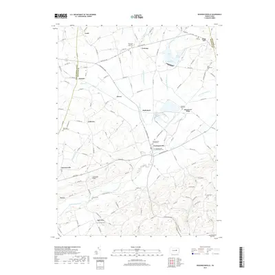
2019 Map of Washingtonville
USGS Topo · Published 2019About this map
Washingtonville serves as a central hub in this landscape where Montour, Northumberland, and Columbia counties converge. The geography is defined by the branching waters of Chillisquaque Creek, including its West, Middle, and East branches, which carve through a series of ridges and lowlands. To the north, Lake Chillisquaque dominates the drainage basin with its distinct Goose Cove and Heron Cove inlets.
Find a feature on this map
118 named features on this map. Tap any name to fly to it.
Don’t see what you’re looking for? This feature index may not catch every label — zoom into the map to look around manually.
Map Details
Editions of this 2019 Washingtonville Map
This is the sole edition of this map. No revisions or reprints were ever made.
Other maps of this area

1892 · Shamokin
USGS Topo · 1:62,500

1893 · Sunbury
USGS Topo · 1:62,500

1893 · Shamokin
USGS Topo · 1:62,500

1924 · Milton
USGS Topo · 1:62,500

1935 · Hughesville
USGS Topo · 1:62,500

1943 · Shamokin
USGS Topo · 1:62,500

1943 · Sunbury
USGS Topo · 1:62,500

1950 · Harrisburg
USGS Topo · 1:250,000

1952 · Shamokin
USGS Topo · 1:62,500

1953 · Hughesville
USGS Topo · 1:62,500