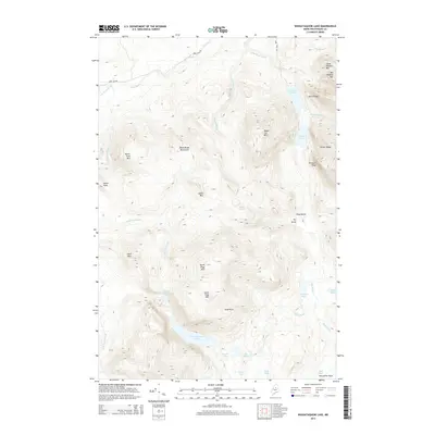
2014 Map of Wassataquoik Lake
USGS Topo · Published 2014About this map
Wassataquoik Lake and the surrounding high country of Piscataquis County are captured here in a period of relative isolation, accessible primarily via the Park Tote Rd. The landscape is dominated by the massive forms of North Pogy Mtn and South Pogy Mtn, which frame the descent toward the lake. A significant geological or historical landmark, Inscription Rock, stands at the southern end of the lake, suggesting a legacy of human passage through this waterway-dense region. The map reveals a complex drainage system where Trout Brook and Hathorn Brook wind through narrow valleys between peaks like Squirt Dam Mtn and Black Cat Mtn. This network of ponds—including the Upper S Br Pond, Lower S Br Pond, and the cluster at Six Ponds—illustrates the classic glacial topography of the Maine woods, where water bodies are often separated by sharp divides like Pogy Notch and the Dry Gorge.
Find a feature on this map
41 named features on this map. Tap any name to fly to it.
Don’t see what you’re looking for? This feature index may not catch every label — zoom into the map to look around manually.
Map Details
Editions of this 2014 Wassataquoik Lake Map
This is the sole edition of this map. No revisions or reprints were ever made.
Other maps of this area

1927 · Katahdin
USGS Topo · 1:48,000

1930 · Katahdin
USGS Topo · 1:62,500

1949 · Katahdin
USGS Topo · 1:62,500

1953 · Telos Lake
USGS Topo · 1:62,500

1954 · Harrington Lake
USGS Topo · 1:62,500

1954 · Presque Isle
USGS Topo · 1:250,000

1954 · Millinocket
USGS Topo · 1:250,000

1955 · Traveler Mountain
USGS Topo · 1:62,500

1957 · Telos Lake
USGS Topo · 1:62,500

1958 · Presque Isle
USGS Topo · 1:250,000