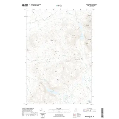
2018 Map of Wassataquoik Lake
USGS Topo · Published 2018About this map
Inscription Rock stands at the southeastern edge of this wilderness area in Piscataquis County, marking a landscape defined by dramatic elevation changes and a dense network of high-altitude water bodies. The terrain is dominated by the Black Brook Mountains and several significant peaks, including North Pogy Mtn and South Pogy Mtn. These summits surround deep glacial features like Dry Gorge and Pogy Notch, while the water system flows through Wassataquoik Lake and smaller basins such as Little Wassataquoik Lake and Draper Pond.
Find a feature on this map
40 named features on this map. Tap any name to fly to it.
Don’t see what you’re looking for? This feature index may not catch every label — zoom into the map to look around manually.
Map Details
Editions of this 2018 Wassataquoik Lake Map
This is the sole edition of this map. No revisions or reprints were ever made.
Other maps of this area

1927 · Katahdin
USGS Topo · 1:48,000

1930 · Katahdin
USGS Topo · 1:62,500

1949 · Katahdin
USGS Topo · 1:62,500

1953 · Telos Lake
USGS Topo · 1:62,500

1954 · Harrington Lake
USGS Topo · 1:62,500

1954 · Presque Isle
USGS Topo · 1:250,000

1954 · Millinocket
USGS Topo · 1:250,000

1955 · Traveler Mountain
USGS Topo · 1:62,500

1957 · Telos Lake
USGS Topo · 1:62,500

1958 · Presque Isle
USGS Topo · 1:250,000