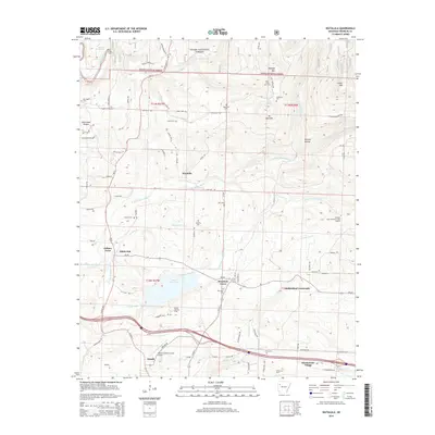
2014 Map of Watalula
USGS Topo · Published 2014About this map
Ozark National Forest dominates the northern reaches of this landscape, where the Mulberry River and Cripple Br cut through the terrain. The map documents a transition from the wooded elevations of Douglas Mtn and Carter Mtn down into the valley settlements that define this part of Franklin County. Local history is anchored by numerous family and community landmarks, including the McLaughlin Cem and Handchew Cem, alongside established clusters like Watalula and Felkner Town.
Find a feature on this map
78 named features on this map. Tap any name to fly to it.
Don’t see what you’re looking for? This feature index may not catch every label — zoom into the map to look around manually.
Map Details
Editions of this 2014 Watalula Map
This is the sole edition of this map. No revisions or reprints were ever made.
Other maps of this area

1879 · Cravens
USGS Topo · 1:62,500

1887 · Magazine Mountain #1
USGS Topo · 1:62,500

1887 · Magazine Mountain #2
USGS Topo · 1:62,500

1887 · Watalula
USGS Topo · 1:62,500

1887 · Magazine Mountain
USGS Topo · 1:62,500

1890 · Magazine Mountain
USGS Topo · 1:125,000

1906 · Batson
USGS Topo · 1:62,500

1939 · Watalula
USGS Topo · 1:62,500

1956 · Russellville
USGS Topo · 1:250,000

1961 · Coal Hill
USGS Topo · 1:24,000