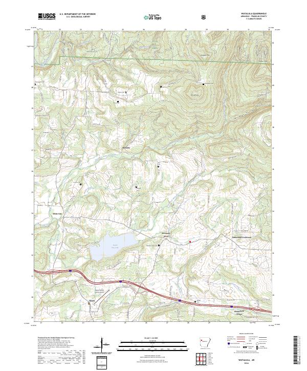
2024 Map of Watalula
USGS Topo · Published 2024About this map
Wiederkehr Village and the northern outskirts of Ozark anchor the southern reach of this Franklin County landscape, where the terrain begins its ascent into the Ozark National Forest. The geography is defined by a dense network of creeks, including the North Fork White Oak Creek and South Fork White Oak Creek, which drain the ridges of Douglas Mtn and Carter Mtn. At the center of the sheet, the Ozark City Lake provides a significant water feature near the small settlement of Mountain Grove.
Find a feature on this map
95 named features on this map. Tap any name to fly to it.
Don’t see what you’re looking for? This feature index may not catch every label — zoom into the map to look around manually.
Map Details
Editions of this 2024 Watalula Map
This is the sole edition of this map. No revisions or reprints were ever made.
Other maps of this area

1879 · Cravens
USGS Topo · 1:62,500

1887 · Magazine Mountain #1
USGS Topo · 1:62,500

1887 · Magazine Mountain #2
USGS Topo · 1:62,500

1887 · Watalula
USGS Topo · 1:62,500

1887 · Magazine Mountain
USGS Topo · 1:62,500

1890 · Magazine Mountain
USGS Topo · 1:125,000

1906 · Batson
USGS Topo · 1:62,500

1939 · Watalula
USGS Topo · 1:62,500

1956 · Russellville
USGS Topo · 1:250,000

1961 · Coal Hill
USGS Topo · 1:24,000