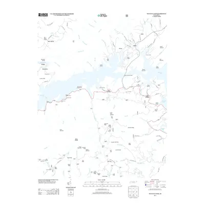
2013 Map of Watauga Dam
USGS Topo · Published 2013About this map
Watauga Lake dominates this 2013 survey of Carter County, Tennessee, illustrating the intricate shoreline and recreational infrastructure of the reservoir. The settlement of Butler sits at the northern end of the lake, near where the Butler Memorial Bridge spans the water. The map traces the rugged topography of the Iron Mountains, including Gipson Mountain and Sink Mountain, which rise above the inundated valleys.
Find a feature on this map
126 named features on this map. Tap any name to fly to it.
Don’t see what you’re looking for? This feature index may not catch every label — zoom into the map to look around manually.
Map Details
Editions of this 2013 Watauga Dam Map
This is the sole edition of this map. No revisions or reprints were ever made.
Other maps of this area

1891 · Roan Mountain
USGS Topo · 1:125,000

1893 · Cranberry
USGS Topo · 1:125,000

1894 · Roan Mountain
USGS Topo · 1:125,000

1895 · Cranberry
USGS Topo · 1:125,000

1899 · Cranberry
USGS Topo · 1:125,000

1902 · Cranberry
USGS Topo · 1:125,000

1904 · Roan Mountain
USGS Topo · 1:125,000

1934 · White Rocks Mtn
USGS Topo · 1:24,000

1934 · Iron Mtn Gap
USGS Topo · 1:24,000

1934 · Elk Park
USGS Topo · 1:24,000