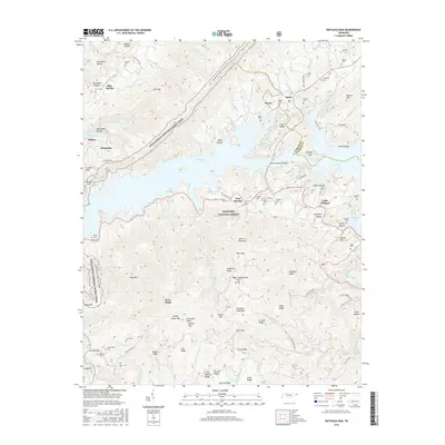
2016 Map of Watauga Dam
USGS Topo · Published 2016About this map
Watauga Lake dominates this mountain landscape at the boundary of Carter Co and Johnson Co, where the impounded waters of the Doe River create a complex shoreline against the steep ridges of the Cherokee National Forest. The map documents the modern footprint of settlements like Butler and Little Milligan, showing how the reservoir reshaped local geography following the construction of the Watauga Dam. Higher elevations are traversed by the Appalachian National Scenic Trail, which winds past Lickskillet Hollow and Low Gap.
Find a feature on this map
124 named features on this map. Tap any name to fly to it.
Don’t see what you’re looking for? This feature index may not catch every label — zoom into the map to look around manually.
Map Details
Editions of this 2016 Watauga Dam Map
This is the sole edition of this map. No revisions or reprints were ever made.
Other maps of this area

1891 · Roan Mountain
USGS Topo · 1:125,000

1893 · Cranberry
USGS Topo · 1:125,000

1894 · Roan Mountain
USGS Topo · 1:125,000

1895 · Cranberry
USGS Topo · 1:125,000

1899 · Cranberry
USGS Topo · 1:125,000

1902 · Cranberry
USGS Topo · 1:125,000

1904 · Roan Mountain
USGS Topo · 1:125,000

1934 · White Rocks Mtn
USGS Topo · 1:24,000

1934 · Iron Mtn Gap
USGS Topo · 1:24,000

1934 · Elk Park
USGS Topo · 1:24,000