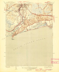
1944 Map of Watch Hill
USGS Topo · Published 1944About this map
The Pawcatuck River serves as the liquid border between Stonington, Connecticut and Westerly, Rhode Island, anchoring a landscape defined by coastal industry and summer retreats. In the north, the twin settlements of Pawcatuck and Westerly show a dense network of streets and rail infrastructure along the New York New Haven and Hartford railroad, supported by local quarries and the Westerly Hospital.
Find a feature on this map
69 named features on this map. Tap any name to fly to it.
Don’t see what you’re looking for? This feature index may not catch every label — zoom into the map to look around manually.
Map Details
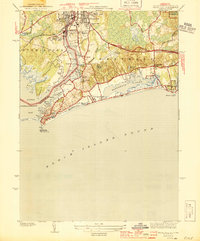
Editions of this 1944 Watch Hill Map
2 editions found
Other maps of this area
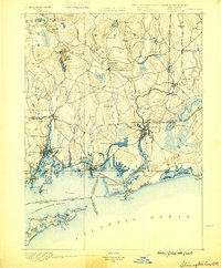
1889 · Stonington
USGS Topo · 1:62,500
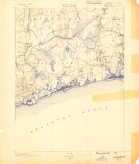
1889 · Charlestown
USGS Topo · 1:62,500
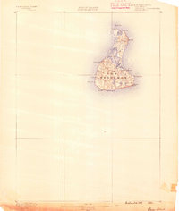
1889 · Block Island
USGS Topo · 1:62,500
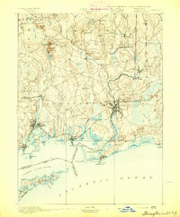
1893 · Stonington
USGS Topo · 1:62,500
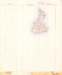
1894 · Block Island
USGS Topo · 1:62,500
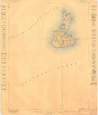
1899 · Block Island
USGS Topo · 1:62,500
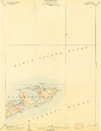
1904 · Montauk
USGS Topo · 1:62,500
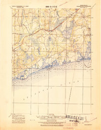
1919 · Charlestown
USGS Topo · 1:62,500
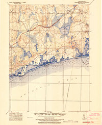
1921 · Charlestown
USGS Topo · 1:62,500
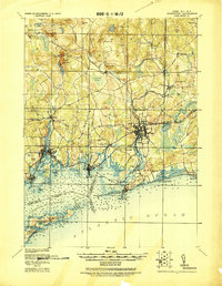
1921 · Stonington
USGS Topo · 1:62,500