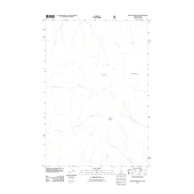
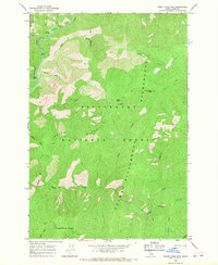
2011 Map of Watchtower Peak
USGS Topo · Published 2011About this map
Watchtower Peak and the surrounding high country of Ravalli County define this 2011 survey of the Idaho-Montana borderlands. The landscape is characterized by a dense network of watercourses that gather in the high basins before descending through the drainage systems of Sheephead Creek and its North Fork. High elevation landmarks such as Cooper Point and Indian Hill provide orientation for navigating the remote terrain between Peach Creek and Cayuse Creek. The map reflects a wilderness area primarily managed for its natural resources and watershed value, with little evidence of permanent settlement but clear documentation of the topographic features and stream systems like Schofield Creek and Indian Creek that have long served as the primary identifiers for this portion of the Bitterroot range.
Find a feature on this map
10 named features on this map. Tap any name to fly to it.
Don’t see what you’re looking for? This feature index may not catch every label — zoom into the map to look around manually.
Map Details
Editions of this 2011 Watchtower Peak Map
This is the sole edition of this map. No revisions or reprints were ever made.
Other maps of this area

1956 · Elk City
USGS Topo · 1:250,000

1960 · Elk City
USGS Topo · 1:250,000

1960 · Painted Rocks Lake
USGS Topo · 1:62,500

1962 · Beaver Jack Mtn
USGS Topo · 1:24,000

1962 · Nez Perce Peak
USGS Topo · 1:24,000
1964 · Mount Jerusalem
USGS Topo · 1:24,000
1964 · Tin Cup Lake
USGS Topo · 1:24,000

1966 · Watchtower Peak
USGS Topo · 1:24,000
1966 · Mount Paloma
USGS Topo · 1:24,000
1966 · Burnt Strip Mtn
USGS Topo · 1:24,000