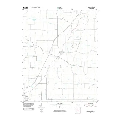
2010 Map of Water Valley
USGS Topo · Published 2010About this map
Water Valley sits at the heart of this rural landscape where the waters of Bayou de Chien and its south fork define the local drainage patterns. The community is a nexus of country roads like Pea Ridge Rd and Latta Rd, while the modern Purchase Pkwy cuts through the western fields. This area is notably dense with local burial grounds, including the Pleasant Valley Cemetery, Wesley Cemetery, and the Camp Beauregard Cemetery, offering significant genealogical landmarks for family historians. To the southwest, the settlements of Fulton and South Fulton anchor the border region, where Harris Fork Creek flows near the state line. The map captures a landscape transitioning between traditional agricultural life and the regional transit corridors that connect these small Western Kentucky and Tennessee communities.
Find a feature on this map
40 named features on this map. Tap any name to fly to it.
Don’t see what you’re looking for? This feature index may not catch every label — zoom into the map to look around manually.
Map Details
Editions of this 2010 Water Valley Map
This is the sole edition of this map. No revisions or reprints were ever made.
Other maps of this area

1952 · Clinton
USGS Topo · 1:24,000

1952 · Mayfield
USGS Topo · 1:24,000

1952 · Dublin
USGS Topo · 1:24,000

1952 · Crutchfield
USGS Topo · 1:24,000

1952 · Cuba
USGS Topo · 1:24,000

1952 · Water Valley
USGS Topo · 1:24,000

1952 · Mayfield
USGS Topo · 1:62,500

1952 · Water Valley
USGS Topo · 1:62,500

1956 · Harris
USGS Topo · 1:24,000

1956 · Mc Connell
USGS Topo · 1:24,000