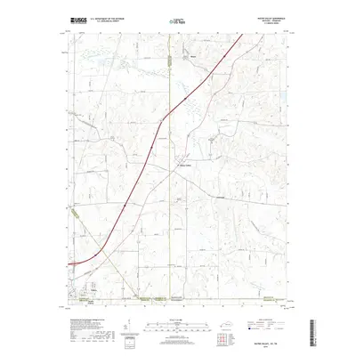
2019 Map of Water Valley
USGS Topo · Published 2019About this map
The lowlands of Bayou de Chien and its south fork wind through this borderland where Kentucky meets Tennessee. This map captures the rural character of the region, anchored by the settlements of Water Valley, Feliciana, and Roper. The landscape is defined by a dense network of local roads and family-named landmarks, reflecting generations of residency and land use. Genealogists will find significant value in the numerous burial grounds documented throughout the area, including Wesley Cem, Mount Zion Cem, and Boaz Chapel Cem. To the southwest, the urban grid of Fulton and South Fulton straddles the state line, providing a sharp contrast to the agricultural surroundings. The convergence of multiple county lines, including Hickman Co Graves Co and Fulton Co Obion Co, underscores the map's role in delineating complex local jurisdictions within the Jackson Purchase.
Find a feature on this map
88 named features on this map. Tap any name to fly to it.
Don’t see what you’re looking for? This feature index may not catch every label — zoom into the map to look around manually.
Map Details
Editions of this 2019 Water Valley Map
This is the sole edition of this map. No revisions or reprints were ever made.
Other maps of this area

1952 · Clinton
USGS Topo · 1:24,000

1952 · Mayfield
USGS Topo · 1:24,000

1952 · Dublin
USGS Topo · 1:24,000

1952 · Crutchfield
USGS Topo · 1:24,000

1952 · Cuba
USGS Topo · 1:24,000

1952 · Water Valley
USGS Topo · 1:24,000

1952 · Mayfield
USGS Topo · 1:62,500

1952 · Water Valley
USGS Topo · 1:62,500

1956 · Harris
USGS Topo · 1:24,000

1956 · Mc Connell
USGS Topo · 1:24,000