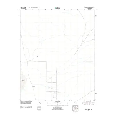
2012 Map of Water Valley
USGS Topo · Published 2012About this map
Water Valley occupies a stark desert landscape in San Bernardino County, where the dry bed of Harper Lake defines the western edge of this 2012 survey. The area's settlement history is etched into the terrain through a network of rural roads and family properties, including Blacks Ranch and Rainbow Ranch. A distinct grid of local routes such as Orchard Rd, Hovater Rd, and Friends Rd indicates a pocket of agricultural or residential development amid the arid surroundings. This map reveals a transition from the structured plots of the valley floor to the winding backcountry tracks of Opal Mountain Rd and Coolgardie Rd in the northeast. Of particular interest to local historians is Fossil Bed Rd, which suggests the geological and paleontological significance of the nearby ridges.
Find a feature on this map
20 named features on this map. Tap any name to fly to it.
Don’t see what you’re looking for? This feature index may not catch every label — zoom into the map to look around manually.
Map Details
Editions of this 2012 Water Valley Map
This is the sole edition of this map. No revisions or reprints were ever made.
Other maps of this area

1915 · Searles Lake
USGS Topo · 1:250,000

1932 · Barstow
USGS Topo · 1:125,000

1934 · Barstow
USGS Topo · 1:125,000

1947 · Trona
USGS Topo · 1:250,000

1948 · Trona
USGS Topo · 1:250,000

1953 · San Bernardino
USGS Topo · 1:250,000

1953 · Trona
USGS Topo · 1:250,000

1955 · Opal Mountain
USGS Topo · 1:62,500

1956 · San Bernardino
USGS Topo · 1:250,000

1956 · Fremont Peak
USGS Topo · 1:62,500