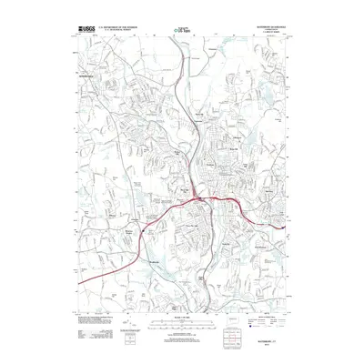
2012 Map of Waterbury
USGS Topo · Published 2012About this map
The Naugatuck River corridor serves as the industrial and logistical spine of this region, separating the hilltop neighborhoods of Bunker Hill and Overlook from the eastern heights of Bucks Hill. In the early 21st century, the urban landscape of Waterbury is characterized by dense residential clusters like Town Plot Hill and Westside Hill, punctuated by significant educational institutions such as Naugatuck Valley Community Technical College and Teikyo Post University. Historically significant burial grounds, including the Old Watertown Cem and Riverside Cem, are preserved amidst the modern infrastructure. The surrounding terrain is marked by numerous water bodies like Hancock Brook Lake and Echo Lake, which reflect the area's transition from early mill-driven industry toward suburban development and recreation, evidenced by the Western Hills Municipal Golf Course.
Find a feature on this map
434 named features on this map. Tap any name to fly to it.
Don’t see what you’re looking for? This feature index may not catch every label — zoom into the map to look around manually.
Map Details
Editions of this 2012 Waterbury Map
This is the sole edition of this map. No revisions or reprints were ever made.
Other maps of this area

1889 · Derby
USGS Topo · 1:62,500

1891 · Derby
USGS Topo · 1:62,500

1892 · New Haven
USGS Topo · 1:62,500

1892 · Meriden
USGS Topo · 1:62,500

1893 · Waterbury
USGS Topo · 1:62,500

1893 · Meriden
USGS Topo · 1:62,500

1893 · Derby
USGS Topo · 1:62,500

1904 · Waterbury
USGS Topo · 1:62,500

1904 · Litchfield
USGS Topo · 1:125,000

1906 · Farmington
USGS Topo · 1:125,000