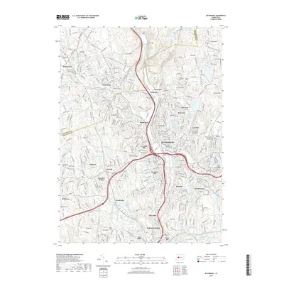
2018 Map of Waterbury
USGS Topo · Published 2018About this map
The Naugatuck River corridor serves as the industrial and transit spine of this 2018 survey, anchoring the dense urban center of Waterbury and its surrounding neighborhoods. The landscape is characterized by a complex network of residential hills and named peaks like Bunker Hill, Town Plot Hill, and Chestnut Hill, which rise above the river valley. Significant educational institutions, including Univ of Connecticut Waterbury and Naugatuck Valley Community College, are integrated into the city fabric, reflecting the region's modern economic base.
Find a feature on this map
115 named features on this map. Tap any name to fly to it.
Don’t see what you’re looking for? This feature index may not catch every label — zoom into the map to look around manually.
Map Details
Editions of this 2018 Waterbury Map
This is the sole edition of this map. No revisions or reprints were ever made.
Other maps of this area

1889 · Derby
USGS Topo · 1:62,500

1891 · Derby
USGS Topo · 1:62,500

1892 · New Haven
USGS Topo · 1:62,500

1892 · Meriden
USGS Topo · 1:62,500

1893 · Waterbury
USGS Topo · 1:62,500

1893 · Meriden
USGS Topo · 1:62,500

1893 · Derby
USGS Topo · 1:62,500

1904 · Waterbury
USGS Topo · 1:62,500

1904 · Litchfield
USGS Topo · 1:125,000

1906 · Farmington
USGS Topo · 1:125,000