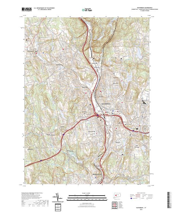
2024 Map of Waterbury
USGS Topo · Published 2024About this map
The Naugatuck River corridor serves as the industrial and transit backbone for this region, connecting the primary urban centers of Waterbury, Waterville, and Naugatuck. The landscape is a complex mix of dense residential neighborhoods on Town Plot Hill and Westside Hill, contrasting with the more suburban and rural reaches of Watertown and Middlebury. Educational and civic anchors define the central district, including the University of Connecticut Waterbury and the Waterbury Judicial District Superior Court.
Find a feature on this map
115 named features on this map. Tap any name to fly to it.
Don’t see what you’re looking for? This feature index may not catch every label — zoom into the map to look around manually.
Map Details
Editions of this 2024 Waterbury Map
This is the sole edition of this map. No revisions or reprints were ever made.
Other maps of this area

1889 · Derby
USGS Topo · 1:62,500

1891 · Derby
USGS Topo · 1:62,500

1892 · New Haven
USGS Topo · 1:62,500

1892 · Meriden
USGS Topo · 1:62,500

1893 · Waterbury
USGS Topo · 1:62,500

1893 · Meriden
USGS Topo · 1:62,500

1893 · Derby
USGS Topo · 1:62,500

1904 · Waterbury
USGS Topo · 1:62,500

1904 · Litchfield
USGS Topo · 1:125,000

1906 · Farmington
USGS Topo · 1:125,000