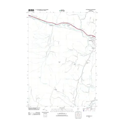
2012 Map of Waterbury
USGS Topo · Published 2012About this map
The Winooski River carves a deep valley through this portion of Washington County, anchoring the settlements of Waterbury and Duxbury. This 2011-era survey shows the intricate relationship between the river corridor and the New England Central RR, which parallels the water and Interstate 89. The village of Waterbury serves as a dense hub at the confluence of the Winooski and the Little River, with its street grid including Stowe St and Railroad St clearly defined against the rising terrain of the surrounding hills.
Find a feature on this map
88 named features on this map. Tap any name to fly to it.
Don’t see what you’re looking for? This feature index may not catch every label — zoom into the map to look around manually.
Map Details
Editions of this 2012 Waterbury Map
This is the sole edition of this map. No revisions or reprints were ever made.
Other maps of this area

1919 · Lincoln Mountain
USGS Topo · 1:62,500

1919 · Montpelier
USGS Topo · 1:62,500

1920 · Lincoln Mountain
USGS Topo · 1:48,000

1921 · Richmond
USGS Topo · 1:48,000

1921 · Lincoln Mountain
USGS Topo · 1:62,500

1921 · Montpelier
USGS Topo · 1:62,500

1922 · Barre
USGS Topo · 1:48,000

1924 · Barre
USGS Topo · 1:62,500

1924 · Camels Hump
USGS Topo · 1:62,500

1944 · Montpelier
USGS Topo · 1:62,500