Loading...
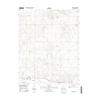
Loading map...1963 Map of Waterflow
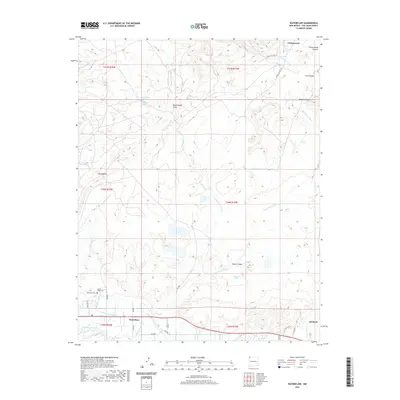
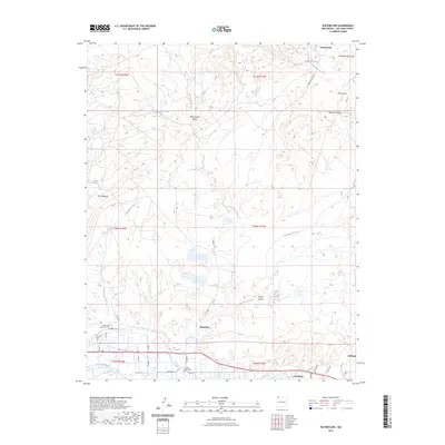
USGS Topo · Published 1980About this map
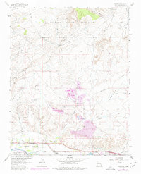
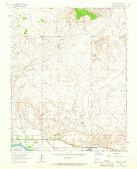
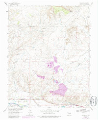
The San Juan River corridor defines the southern edge of this landscape, supporting the communities of Waterflow and Jewett Valley through extensive irrigation works like the Farmers Mutual Ditch. This 1963 survey, updated with 1978 aerial data, reveals a high-desert environment where extractive industries and traditional ranching intersect. The Verde Oil Field and numerous petroleum facilities dot the terrain north of The Hogback, while coal-related history is preserved in the Black Diamond Mines and Walker Mine.
Find a feature on this map
31 named features on this map. Tap any name to fly to it.
Don’t see what you’re looking for? This feature index may not catch every label — zoom into the map to look around manually.
Map Details
Date Portrayed1963
Date Published1980
PublisherU.S. Geological Survey
Map TypeTopographic
Scale1:24,000
Physical Dimensions21.9 x 27 inches
Editions of this 1963 Waterflow Map
3 editions found
Historical Maps of Shiprock Agency Through Time
6 maps found

Featured Locations
Source Details
SourceU.S. Geological Survey
CopyrightPublic Domain