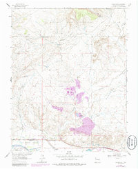
1963 Map of Waterflow
USGS Topo · Published 1986About this map
The San Juan River corridor anchors this 1963 survey, revealing the agricultural and industrial infrastructure of northwestern New Mexico. Near the settlement of Waterflow, the Farmers Mutual Ditch traces the valley floor, providing essential irrigation to the Jewett Valley community. This area is a patchwork of cultural and economic activity, from the education and faith centered at Sacred Heart Academy to the resource extraction visible at the Walker Mine and Black Diamond Mines.
Find a feature on this map
30 named features on this map. Tap any name to fly to it.
Don’t see what you’re looking for? This feature index may not catch every label — zoom into the map to look around manually.
Map Details
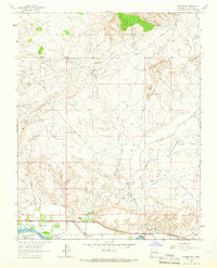
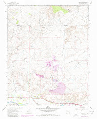
Editions of this 1963 Waterflow Map
3 editions found
Other maps of this area

1889 · Chaco
USGS Topo · 1:250,000

1892 · Chaco
USGS Topo · 1:250,000

1927 · Sulphur Spring
USGS Topo · 1:96,000

1928 · Kirtland
USGS Topo · 1:125,000

1932 · Kirtland
USGS Topo · 1:125,000

1934 · Chimney Rock
USGS Topo · 1:62,500

1936 · Chimney Rock
USGS Topo · 1:62,500

1954 · Shiprock
USGS Topo · 1:250,000

1958 · Shiprock
USGS Topo · 1:250,000

1959 · Shiprock
USGS Topo · 1:250,000