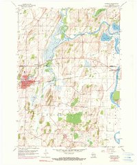
2022 Map of Waterloo
USGS Topo · Published 2022About this map
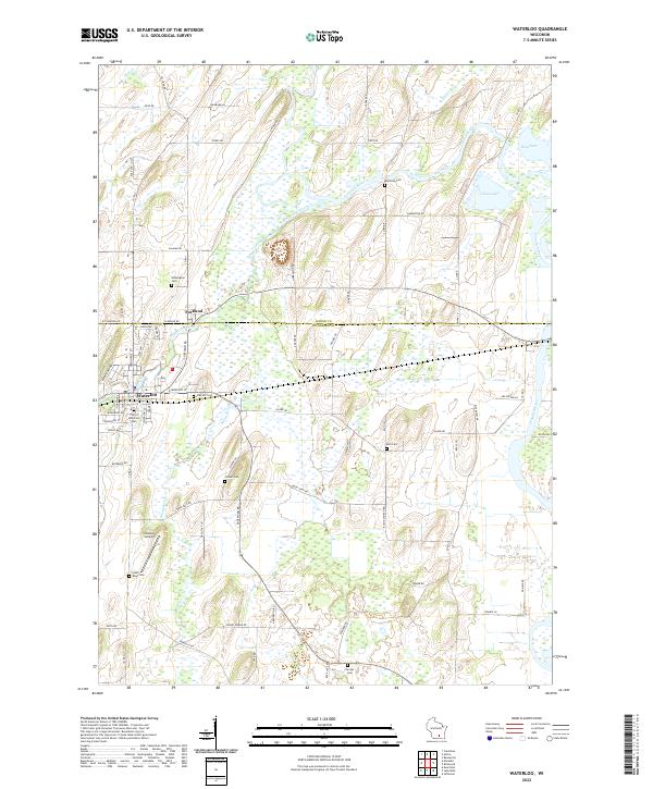
The Maunesha River winds through the heart of this landscape, connecting the settlements of Portland and Waterloo along the border of Dodge and Jefferson Counties. This 2022 survey details a community defined by its agricultural roots and extensive wetland systems, particularly around Chub Lake and Mud Lake to the northeast. The presence of numerous smaller burial grounds, including Washington Cem, Moravian Cem, and the City of Waterloo Cem, speaks to the long-standing family settlements that have shaped the rural character of the area.
Find a feature on this map
82 named features on this map. Tap any name to fly to it.
Don’t see what you’re looking for? This feature index may not catch every label — zoom into the map to look around manually.
Map Details
Editions of this 2022 Waterloo Map
This is the sole edition of this map. No revisions or reprints were ever made.
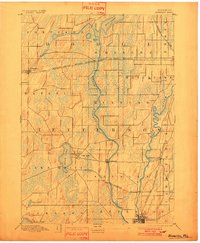
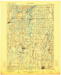
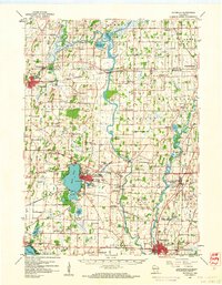
Historical Maps of Jefferson County Through Time
6 maps found