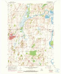
1959 Map of Waterloo
USGS Topo · Published 1990About this map
The Maunesha River winds through the heart of Waterloo, creating a distinctive riverside settlement at the edge of Jefferson County during the late 1950s. This survey reveals a landscape heavily influenced by glacial activity, evidenced by the numerous Gravel Pit operations and the marshy expanses of Mud Lake and Chub Lake. The industrial and transit corridor is defined by the Chicago Milwaukee St Paul and Pacific railroad, which links Waterloo to the small hamlet of Hubbleton to the east. Local social centers are well-documented, from the St John Sch and Firemen Park in town to rural landmarks like St Wenceslaus Ch. Genealogists will find an exceptional density of burial grounds throughout the countryside, including Washington Cem, Moravian Cem, and the remote Island Cem, reflecting the deep-rooted family farmsteads that once populated the surrounding townships.
Find a feature on this map
35 named features on this map. Tap any name to fly to it.
Don’t see what you’re looking for? This feature index may not catch every label — zoom into the map to look around manually.
Map Details
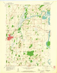
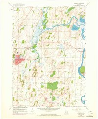
Editions of this 1959 Waterloo Map
3 editions found
Other maps of this area

1890 · Sun Prairie
USGS Topo · 1:62,500

1891 · Waterloo
USGS Topo · 1:62,500

1894 · Waterloo
USGS Topo · 1:62,500

1896 · Sun Prairie
USGS Topo · 1:62,500

1905 · Sun Prairie
USGS Topo · 1:62,500

1907 · Sun Prairie
USGS Topo · 1:62,500

1910 · Waterloo
USGS Topo · 1:62,500

1955 · Columbus
USGS Topo · 1:62,500

1955 · Beaver Dam
USGS Topo · 1:62,500

1957 · Madison
USGS Topo · 1:250,000