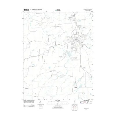
2012 Map of Waterloo
USGS Topo · Published 2012About this map
Waterloo serves as the central hub of this Monroe County landscape, showing its transition into the early 21st century. The map details a community defined by its cemeteries and rural outposts, including Lemens, Burksville, and Madonnaville. For those researching local genealogy, several family-named landmarks are present, such as Lemen Cem and Moores Cem, alongside religious sites like Saints Peter and Paul Cem and Holy Cross Cem in Wartburg.
Find a feature on this map
130 named features on this map. Tap any name to fly to it.
Don’t see what you’re looking for? This feature index may not catch every label — zoom into the map to look around manually.
Map Details
Editions of this 2012 Waterloo Map
This is the sole edition of this map. No revisions or reprints were ever made.
Other maps of this area

1910 · Waterloo
USGS Topo · 1:62,500

1912 · Kimmswick
USGS Topo · 1:62,500

1913 · Waterloo
USGS Topo · 1:62,500

1915 · Renault
USGS Topo · 1:62,500

1915 · Crystal City
USGS Topo · 1:62,500

1916 · Kimmswick
USGS Topo · 1:62,500

1940 · Renault
USGS Topo · 1:62,500

1948 · Kimmswick
USGS Topo · 1:62,500

1949 · Saint Louis
USGS Topo · 1:250,000

1949 · Crystal City
USGS Topo · 1:62,500