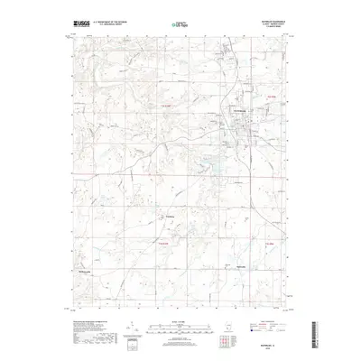
2018 Map of Waterloo
USGS Topo · Published 2018About this map
The city of Waterloo serves as the focal point of this Monroe County survey, situated at the junction of several key regional roads and surrounded by a landscape of rolling terrain and winding waterways. The community is anchored by historic sites such as Saints Peter and Paul Cem and Kolmer Cem, reflecting its deep-rooted local history. To the south, smaller rural settlements like Wartburg and Burksville are connected by a network of rural routes, including Maeleytown Rd, which traverses a region defined by the drainage basins of Fountain Creek and Rockhouse Cr.
Find a feature on this map
121 named features on this map. Tap any name to fly to it.
Don’t see what you’re looking for? This feature index may not catch every label — zoom into the map to look around manually.
Map Details
Editions of this 2018 Waterloo Map
This is the sole edition of this map. No revisions or reprints were ever made.
Other maps of this area

1910 · Waterloo
USGS Topo · 1:62,500

1912 · Kimmswick
USGS Topo · 1:62,500

1913 · Waterloo
USGS Topo · 1:62,500

1915 · Renault
USGS Topo · 1:62,500

1915 · Crystal City
USGS Topo · 1:62,500

1916 · Kimmswick
USGS Topo · 1:62,500

1940 · Renault
USGS Topo · 1:62,500

1948 · Kimmswick
USGS Topo · 1:62,500

1949 · Saint Louis
USGS Topo · 1:250,000

1949 · Crystal City
USGS Topo · 1:62,500