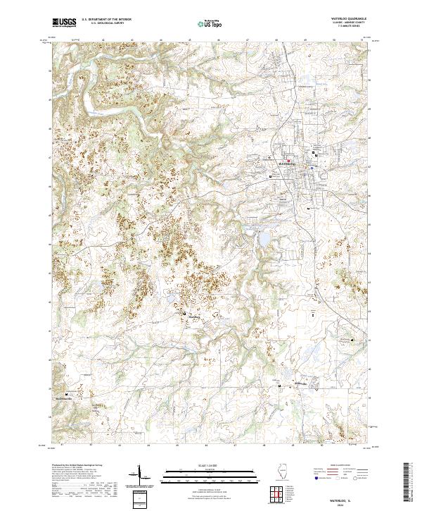
2024 Map of Waterloo
USGS Topo · Published 2024About this map
The Monroe County Courthouse stands as the central landmark of Waterloo, anchoring a landscape that transitions from the dense street grids of the county seat to the agrarian stretches of Wartburg and Burksville. This modern survey reveals a dense network of local-history sites, including the New Design Historical Cem and the Saints Peter and Paul Cem, which reflect the long-standing community foundations in this part of Monroe County.
Find a feature on this map
129 named features on this map. Tap any name to fly to it.
Don’t see what you’re looking for? This feature index may not catch every label — zoom into the map to look around manually.
Map Details
Editions of this 2024 Waterloo Map
This is the sole edition of this map. No revisions or reprints were ever made.
Other maps of this area

1910 · Waterloo
USGS Topo · 1:62,500

1912 · Kimmswick
USGS Topo · 1:62,500

1913 · Waterloo
USGS Topo · 1:62,500

1915 · Renault
USGS Topo · 1:62,500

1915 · Crystal City
USGS Topo · 1:62,500

1916 · Kimmswick
USGS Topo · 1:62,500

1940 · Renault
USGS Topo · 1:62,500

1948 · Kimmswick
USGS Topo · 1:62,500

1949 · Saint Louis
USGS Topo · 1:250,000

1949 · Crystal City
USGS Topo · 1:62,500