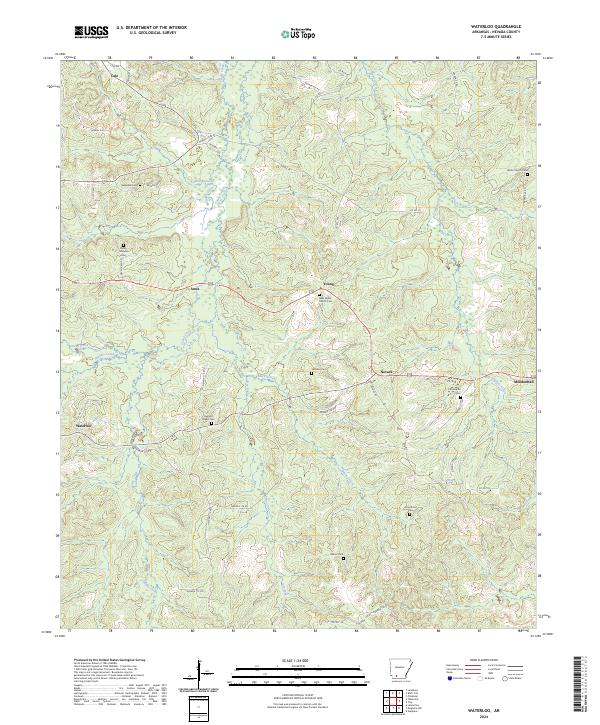
2024 Map of Waterloo
USGS Topo · Published 2024About this map
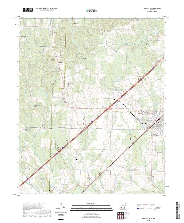
Waterloo and the surrounding rural pockets of Nevada County are defined by a network of small creeks and community burial grounds. This modern survey illustrates the persistent layout of this landscape, where settlements like Ames, Young, and Nevark serve as nodes in a web of county roads. The terrain is crisscrossed by numerous watercourses, including Caney Creek, Black Creek, and the Dry Fork, which dictate the placement of farms and homesteads.
Find a feature on this map
57 named features on this map. Tap any name to fly to it.
Don’t see what you’re looking for? This feature index may not catch every label — zoom into the map to look around manually.
Map Details
Editions of this 2024 Waterloo Map
This is the sole edition of this map. No revisions or reprints were ever made.
Historical Maps of Young Through Time
10 maps found
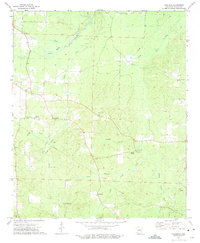
1970 Piney Grove
Nevada County, AR

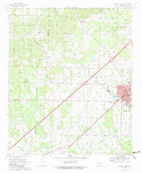
1970 Prescott East
Nevada County, AR
1970 Prescott West
Nevada County, AR
1973 Laneburg
Nevada County, AR
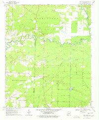
1973 Waterloo
Nevada County, AR
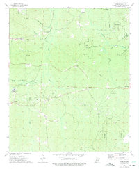
2024 Laneburg
Nevada County, AR
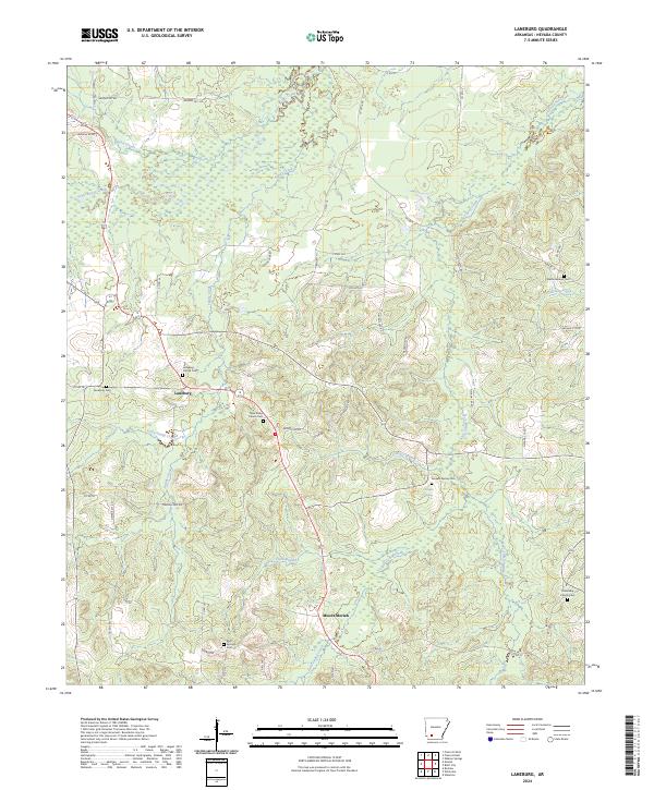
2024 Piney Grove
Nevada County, AR
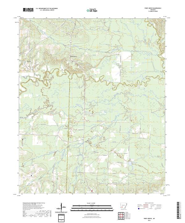
2024 Prescott East
Nevada County, AR
2024 Prescott West
Nevada County, AR
2024 Waterloo
Nevada County, AR