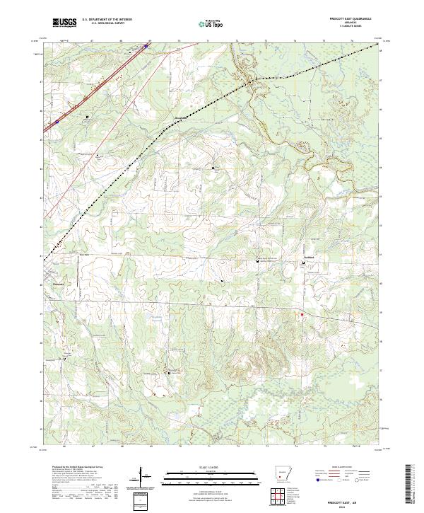
2024 Map of Prescott East
USGS Topo · Published 2024About this map
The Little Missouri River meanders across the northeast portion of this Arkansas landscape, creating a complex drainage network that includes Beaver Slough and Long Slough. This region of Nevada County is defined by its rural cemetery network, which serves as a vital record of local genealogy and settlement history. Significant sites like Providence Cem in the north and Moscow Church Cem to the south anchor smaller community hubs such as Boughton and Redland.
Find a feature on this map
86 named features on this map. Tap any name to fly to it.
Don’t see what you’re looking for? This feature index may not catch every label — zoom into the map to look around manually.
Map Details
Editions of this 2024 Prescott East Map
This is the sole edition of this map. No revisions or reprints were ever made.
Other maps of this area

1901 · Gurdon
USGS Topo · 1:125,000

1953 · El Dorado
USGS Topo · 1:250,000

1957 · El Dorado
USGS Topo · 1:250,000

1958 · El Dorado
USGS Topo · 1:250,000

1960 · El Dorado
USGS Topo · 1:250,000

1970 · Whelen Springs
USGS Topo · 1:24,000

1970 · Prescott East
USGS Topo · 1:24,000
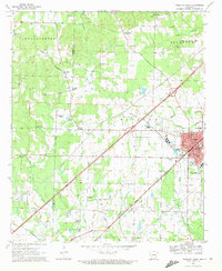
1970 · Prescott West
USGS Topo · 1:24,000
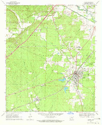
1970 · Gurdon
USGS Topo · 1:24,000
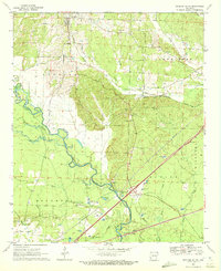
1970 · Okolona South
USGS Topo · 1:24,000