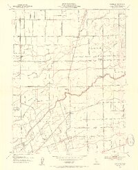
1953 Map of Waterloo
USGS Topo · Published 1954About this map
Agricultural irrigation and transit networks define this Central Valley landscape, centered on the settlement of Waterloo. The map highlights a complex water management system including the Mokelumne Aqueduct, the Calaveras River, and extensive protective barriers such as the Calaveras Levee and Bear Levee. These features supported the region's viticulture and farming, evidenced by a prominent Winery near the Central California Traction Rd.
Find a feature on this map
38 named features on this map. Tap any name to fly to it.
Don’t see what you’re looking for? This feature index may not catch every label — zoom into the map to look around manually.
Map Details
Editions of this 1953 Waterloo Map
2 editions found
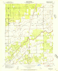
Other maps of this area

1894 · Lodi
USGS Topo · 1:125,000

1908 · Waterloo
USGS Topo · 1:31,680

1908 · Linden
USGS Topo · 1:31,680

1908 · Lockeford
USGS Topo · 1:31,680

1909 · Clements
USGS Topo · 1:31,680

1910 · Castle
USGS Topo · 1:31,680

1910 · Woodbridge
USGS Topo · 1:31,680

1913 · Stockton
USGS Topo · 1:31,680

1914 · Burnham
USGS Topo · 1:31,680

1915 · Peters
USGS Topo · 1:31,680