Loading...
Loading map...1908 Map of Waterloo
USGS Topo · Published 1943About this map
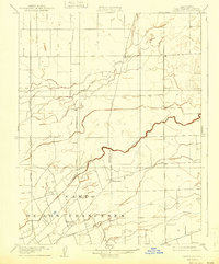
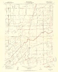
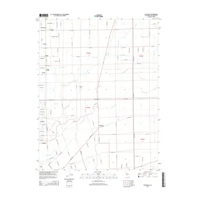
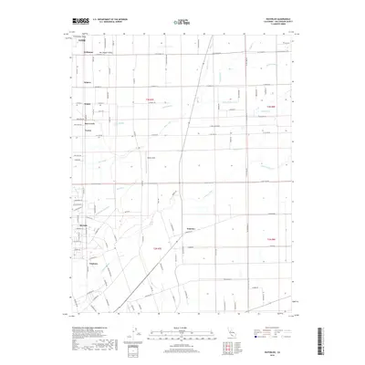
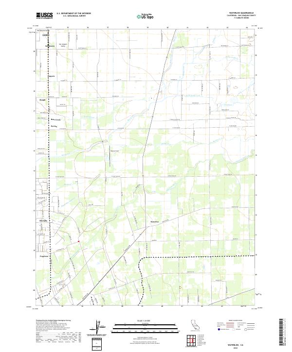
Waterloo and the surrounding agricultural landscape of San Joaquin County are shown here during the first decade of the 1900s. This survey, conducted by R.B. Marshall and his team, illustrates the transition from traditional river-based orientation to a formal grid of rural roads and early rail infrastructure. The Calaveras River winds through the southern portion of the sheet, cutting through the historic Campo De Los Franceses land grant.
Find a feature on this map
11 named features on this map. Tap any name to fly to it.
Don’t see what you’re looking for? This feature index may not catch every label — zoom into the map to look around manually.
Map Details
Date Portrayed1908
Date Published1943
PublisherU.S. Geological Survey
Map TypeTopographic
Scale1:31,680
Physical Dimensions16.4 x 19.7 inches
Editions of this 1908 Waterloo Map
2 editions found

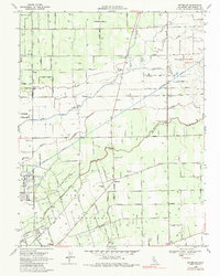
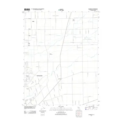
Historical Maps of Lodi Through Time
7 maps found
Featured Locations
Source Details
SourceU.S. Geological Survey
CopyrightPublic Domain