
1910 Map of Castle
USGS Topo · Published 1910About this map
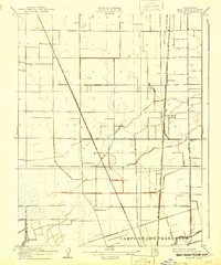
Campo De Los Franceses defines the southern portion of this landscape, reflecting the historic land grant boundaries of the northern San Joaquin Valley. At the time of this 1907–1908 survey, the region was a meticulously organized agricultural grid, intersected by vital transportation corridors like Lower Sacramento Road and Davis Road. The map documents early-century waypoints such as Fivemile House and Eightmile House, which served as key landmarks along the main thoroughfares north of Stockton.
Find a feature on this map
14 named features on this map. Tap any name to fly to it.
Don’t see what you’re looking for? This feature index may not catch every label — zoom into the map to look around manually.
Map Details
Editions of this 1910 Castle Map
2 editions found
Other maps of this area

1894 · Lodi
USGS Topo · 1:125,000

1908 · Waterloo
USGS Topo · 1:31,680

1908 · Lockeford
USGS Topo · 1:31,680

1910 · New Hope
USGS Topo · 1:31,680

1910 · Woodbridge
USGS Topo · 1:31,680

1910 · Headreach
USGS Topo · 1:31,680

1913 · Stockton
USGS Topo · 1:31,680

1913 · Holt
USGS Topo · 1:31,680

1914 · Burnham
USGS Topo · 1:31,680
1939 · Lodi
USGS Topo · 1:62,500