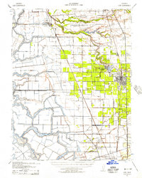
1939 Map of Lodi
USGS Topo · Published 1957About this map
The Mokelumne River and San Joaquin River systems define this landscape, where early 20th-century agriculture meets a complex network of sloughs and reclaimed delta islands. At the heart of the northern district, the New Hope (Thornton Migratory Labor Camp) reflects the labor patterns of the Great Depression era, situated near New Hope Landing. The region is heavily marked by the intersection of water and rail transport, with the Western Pacific and Southern Pacific railroads cutting through fertile grounds near Lodi and Acampo.
Find a feature on this map
59 named features on this map. Tap any name to fly to it.
Don’t see what you’re looking for? This feature index may not catch every label — zoom into the map to look around manually.
Map Details
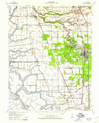
Editions of this 1939 Lodi Map
2 editions found
Other maps of this area

1894 · Lodi
USGS Topo · 1:125,000

1908 · Waterloo
USGS Topo · 1:31,680

1908 · Courtland
USGS Topo · 1:62,500

1908 · Lockeford
USGS Topo · 1:31,680

1909 · Clay
USGS Topo · 1:31,680

1910 · New Hope
USGS Topo · 1:31,680

1910 · Castle
USGS Topo · 1:31,680

1910 · Bouldin
USGS Topo · 1:31,680

1910 · Woodbridge
USGS Topo · 1:31,680

1910 · Bruceville
USGS Topo · 1:31,680