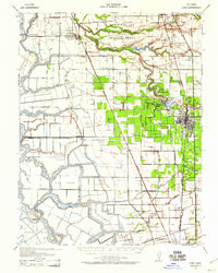
1939 Map of Lodi
USGS Topo · Published 1959About this map
The delta wetlands and fertile agricultural plains of northern San Joaquin County define this landscape at the dawn of the 1940s. The Mokelumne River and its intricate network of sloughs, including Beaver Slough and Hog Slough, segment the territory into distinct land masses like Staten Island and King Island. The core of Lodi is shown alongside satellite communities such as Woodbridge and Acampo, reflecting an era of expanding irrigation and transit. Of significant social interest is the New Hope Thornton Migratory Labor Camp, a site providing rare spatial context for the region's agricultural history. Dozens of rural schools, including Liberty School and Ray District Sch, are scattered throughout the quadrangle, serving families established near the Western Pacific and Southern Pacific railroad lines.
Find a feature on this map
69 named features on this map. Tap any name to fly to it.
Don’t see what you’re looking for? This feature index may not catch every label — zoom into the map to look around manually.
Map Details
Editions of this 1939 Lodi Map
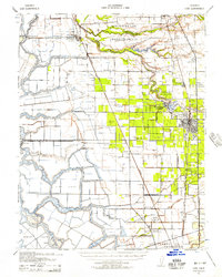
2 editions found
Other maps of this area

1894 · Lodi
USGS Topo · 1:125,000

1908 · Waterloo
USGS Topo · 1:31,680

1908 · Courtland
USGS Topo · 1:62,500

1908 · Lockeford
USGS Topo · 1:31,680

1909 · Clay
USGS Topo · 1:31,680

1910 · New Hope
USGS Topo · 1:31,680

1910 · Castle
USGS Topo · 1:31,680

1910 · Bouldin
USGS Topo · 1:31,680

1910 · Woodbridge
USGS Topo · 1:31,680

1910 · Bruceville
USGS Topo · 1:31,680