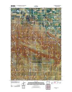
2011 Map of Waterman
USGS Topo · Published 2011About this map
Waterman and the nearby locales of Wayland and Duroc anchor this portion of Umatilla County, defined by a sophisticated system of high-country water management. The landscape is etched by essential irrigation infrastructure, including the White Ditch and the curiously named Love Loney Ditch, which redirect flow from natural drainages like Swartz Creek and Pine Creek. These systems support the agricultural viability of the region, feeding into the White Reservoir in the northwest corner.
Find a feature on this map
34 named features on this map. Tap any name to fly to it.
Don’t see what you’re looking for? This feature index may not catch every label — zoom into the map to look around manually.
Map Details
Editions of this 2011 Waterman Map
This is the sole edition of this map. No revisions or reprints were ever made.
Other maps of this area
1915 · Wallulah
USGS Topo · 1:96,000
1918 · Wallula
USGS Topo · 1:125,000
1919 · Walla Walla
USGS Topo · 1:125,000
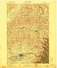
1921 · Walla Walla
USGS Topo · 1:125,000
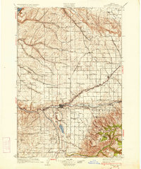
1935 · Pendleton
USGS Topo · 1:125,000
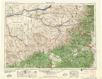
1953 · Pendleton
USGS Topo · 1:250,000
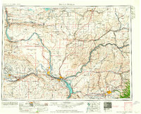
1953 · Walla Walla
USGS Topo · 1:250,000
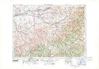
1956 · Pendleton
USGS Topo · 1:250,000
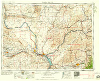
1958 · Walla Walla
USGS Topo · 1:250,000
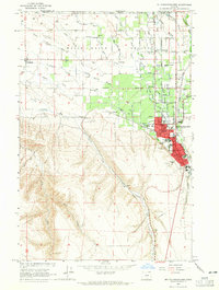
1964 · Milton-Freewater
USGS Topo · 1:24,000