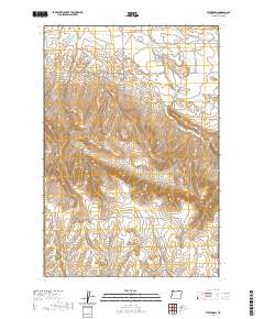
2020 Map of Waterman
USGS Topo · Published 2020About this map
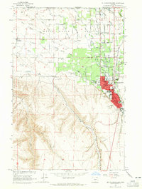
The Walla Walla Valley defines the northern reaches of this Umatilla County landscape, where the irrigated agriculture of the Pacific Northwest is evident through an intricate network of water management features. Hand-drawn labels reveal the historical reliance on systems like the Love Loney Ditch and the White Ditch, which channel water across the transition from the valley floor into the rising terrain. Small settlements such as Umapine and Waterman anchor the rural road network, reflecting the sparse but deliberate footprint of ranching and farming communities near the Washington-Oregon border.
Find a feature on this map
41 named features on this map. Tap any name to fly to it.
Don’t see what you’re looking for? This feature index may not catch every label — zoom into the map to look around manually.
Map Details
Editions of this 2020 Waterman Map
This is the sole edition of this map. No revisions or reprints were ever made.
Other maps of this area
1915 · Wallulah
USGS Topo · 1:96,000
1918 · Wallula
USGS Topo · 1:125,000
1919 · Walla Walla
USGS Topo · 1:125,000
1921 · Walla Walla
USGS Topo · 1:125,000
1935 · Pendleton
USGS Topo · 1:125,000

1953 · Pendleton
USGS Topo · 1:250,000
1953 · Walla Walla
USGS Topo · 1:250,000

1956 · Pendleton
USGS Topo · 1:250,000
1958 · Walla Walla
USGS Topo · 1:250,000
1964 · Milton-Freewater
USGS Topo · 1:24,000